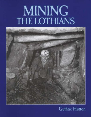
Arniston Colliery
John Furnevel
To the south east of Edinburgh on the edge of the Midlothian coalfield lies Gorebridge, with a population estimated at just below 7,000 in 2016. Gorebridge has a long tradition of coal mining, in particular in the area around Arniston on its north side.
At the time of Nationalisation in 1947, ownership of Arniston Colliery, then comprising the Emily and Gore pits, transferred from the Arniston Coal Company (which had been established in 1874) to the newly created National Coal Board.
During its peak production period in 1951 the colliery employed a workforce in excess of 950.
The complex was provided with extensive modern facilities, including a notable large circular pithead baths on the Gore site, completed in 1936.
The pits were linked by a mineral line to exchange sidings to the south on the up side of the Waverley route near Gorebridge station. Arniston Colliery finally closed in 1962.
Remnants of the coal mining era around Arniston are gradually disappearing as a result of commercial and housing developments, landscaping projects, etc. One highly visible reminder still stands however, namely the original waste "bing", which nowadays appears to motorists passing on the nearby A7 as a tree covered hill.
Photographs
1955 Map

Part of an OS Series map published in 1955 showing the Emily and Gore pits, the last survivors of the former "Arniston Engine" complex, located to the north of Gorebridge.
On the left is the Waverley Route shown crossing the A7, while on the right is the B704 Hunterfield Road. Running between the two across the top of the map is Engine Road.
Note the access road linking Engine Road and the Gore pit passing between the two colliery waste "bings". Note also the cable tramway running from the Emily Pit, through a tunnel in the north (original) bing and across the access road to reach a tipping point on the south bing.
Engine Road

Looking east along Engine Road in 2017 showing the two surviving colliery houses. Old maps identify these as "Emily Bank", with "Office Row" running beyond. Opposite stood "Engine Square" with the Old Engine Pit itself off picture to the left. The later Emily Pit stood behind the camera on the south side of Engine Road. Several lines crossed the Road near here, including one that followed the curve of the garden wall in the foreground.
Tramway Tunnel

The sealed south portal of the tramway tunnel through the original (north) bing enabling waste material to be transported via a cable tramway to the tipping point on the south bing. For a map showing the route of the tramway see above.
Tramway Bridge

Remains of the northern abutment of the bridge carrying the spoil tramway across the access road on its climb up to the tipping point on the south bing. The south portal of the sealed tramway tunnel is visible top right.
Bridge Abutment

The fenced off northern abutment of the old tramway bridge, looking south across the access road towards the site of the now removed south bing.
Tram Rail

A length of tram rail incorporated as a lintel into the south portal of the tramway tunnel through the north bing.
North Bing

View south from the site of the Old Engine Pit in 2017 [see image 53535] with Engine Road running across the picture just beyond the nearest line of trees. Centre stage stands the original (north) bing, now covered in vegetation.
South Bing

No sign of the old south bing remains, with the spoil removed and the area landscaped to form playing fields. View north over the site in 2017, looking towards the tree covered north bing. Behind the camera stands a modern housing development which includes River Gore View and Lady Emily Way.
11 November 2017