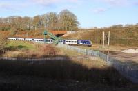
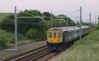
Bradkirk Junction

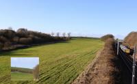
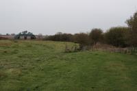
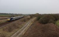
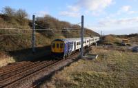
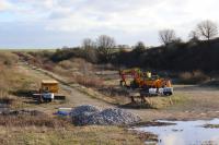
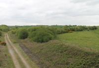
The exposed bricks in this field at Bradkirk reveal that this wasn't always the rural location it is now. The brickworks that operated here had buildings on either side of the siding. The siding linked in to the Bradkirk to Wrea Green line that followed the line of trees through the filled in cutting. The brickworks appears to have closed around the time of WWII. The operational line to Blackpool North, and Bradkirk footbridge, are just behind the camera. c1900 map insert reproduced with the permission of the National Library of Scotland http://maps.nls.uk/index.html
Location: Bradkirk Junction (former)
Original line: Lytham Branch (Preston and Wyre Railway, Dock and Harbour)
Photographer: Mark Bartlett
Contact photographer: Mark Bartlett
Date: 29/03/2022
Image number: 80488
Other photographs of Bradkirk Junction on RailScot
 |  |  |  |  |  |  |  |  |
