Balerno Branch
A map of the Balerno Branch, really a loop, which opened in 1874 and closed to passengers in 1943, closing entirely in 1967. Following this map, and over four days, will be a series of photographs illustrating an eastbound journey along the line from Ravelrig to Slateford using a mixture of 1960s and 1980s photographs (and a postcard) provided by Don Shaw. The single track line wended its way by the Water of Leith, crossing over the river multiple times and passing snuff and paper mills. Trains ran out from Edinburgh Princes Street, taking to the branch at Balerno Junction, and took 25 minutes to reach Balerno. [Map backdrop: Ordnance Survey.]
Don Shaw


![<h4><a href='/locations/M/Map'>Map</a></h4><p><small><a href='/companies/B/Balerno_Branch_Caledonian_Railway'>Balerno Branch (Caledonian Railway)</a></small></p><p>A map of the Balerno Branch, really a loop, which opened in 1874 and closed to passengers in 1943, closing entirely in 1967. Following this map, and over four days, will be a series of photographs illustrating an eastbound journey along the line from Ravelrig to Slateford using a mixture of 1960s and 1980s photographs (and a postcard) provided by Don Shaw. The single track line wended its way by the Water of Leith, crossing over the river multiple times and passing snuff and paper mills. Trains ran out from Edinburgh Princes Street, taking to the branch at Balerno Junction, and took 25 minutes to reach Balerno. [Map backdrop: Ordnance Survey.] 1/81</p><p>24/12/2021<br><small><a href='/contributors/Ewan_Crawford'>Ewan Crawford</a></small></p>](/__cache/thumbnails/79000/79462.jpg)
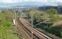
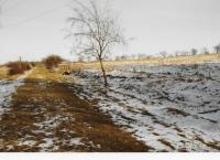
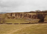
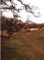
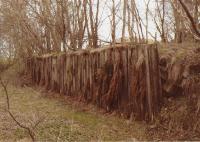
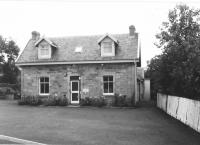
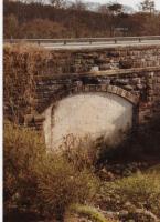
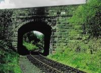
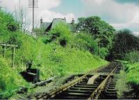
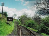
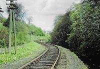
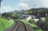
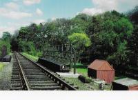
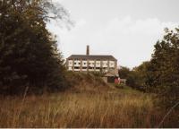
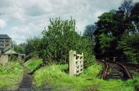
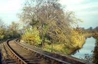
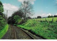
![<h4><a href='/locations/C/Currie_2nd'>Currie [2nd]</a></h4><p><small><a href='/companies/B/Balerno_Branch_Caledonian_Railway'>Balerno Branch (Caledonian Railway)</a></small></p><p>Between Currie and Balerno. 18/81</p><p>//<br><small><a href='/contributors/Don_Shaw'>Don Shaw</a></small></p>](/__cache/thumbnails/79000/79477.jpg)
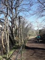
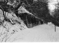
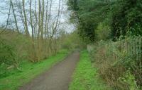
![<h4><a href='/locations/C/Currie_2nd'>Currie [2nd]</a></h4><p><small><a href='/companies/B/Balerno_Branch_Caledonian_Railway'>Balerno Branch (Caledonian Railway)</a></small></p><p>Trackbed of Balerno branch at Currie looking west, 2002. 20/81</p><p>//2002<br><small><a href='/contributors/John_Furnevel'>John Furnevel</a></small></p>](/__cache/thumbnails/3000/3249.jpg)
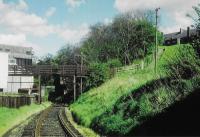
![<h4><a href='/locations/C/Currie_2nd'>Currie [2nd]</a></h4><p><small><a href='/companies/B/Balerno_Branch_Caledonian_Railway'>Balerno Branch (Caledonian Railway)</a></small></p><p>The west end of the loop at Currie station is seen in this view looking east. 21/81</p><p>//<br><small><a href='/contributors/Don_Shaw'>Don Shaw</a></small></p>](/__cache/thumbnails/79000/79478.jpg)
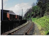
![<h4><a href='/locations/C/Currie_2nd'>Currie [2nd]</a></h4><p><small><a href='/companies/B/Balerno_Branch_Caledonian_Railway'>Balerno Branch (Caledonian Railway)</a></small></p><p>The western end of the loop at Currie station, showing the ground frame, water tank and goods yard in the 1960s. 22/81</p><p>//<br><small><a href='/contributors/Don_Shaw'>Don Shaw</a></small></p>](/__cache/thumbnails/79000/79479.jpg)
![<h4><a href='/locations/C/Currie_2nd'>Currie [2nd]</a></h4><p><small><a href='/companies/B/Balerno_Branch_Caledonian_Railway'>Balerno Branch (Caledonian Railway)</a></small></p><p>Currie's former passenger station, long disused by the 1960s. This was the only station to have two platforms on the line. 23/81</p><p>//<br><small><a href='/contributors/Don_Shaw'>Don Shaw</a></small></p>](/__cache/thumbnails/79000/79480.jpg)
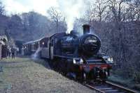
![<h4><a href='/locations/C/Currie_2nd'>Currie [2nd]</a></h4><p><small><a href='/companies/B/Balerno_Branch_Caledonian_Railway'>Balerno Branch (Caledonian Railway)</a></small></p><p>BR Standard class 2 2-6-0 no 78046 with the 1965 <I>Scottish Rambler no 4</I> railtour on 19 April 1965. The photograph is thought to have been taken at Currie, with the old goods shed standing in the background see image <a href='/img/3/300/index.html'>3300</a>. 24/81</p><p>19/04/1965<br><small><a href='/contributors/G_W_Robin'>G W Robin</a></small></p>](/__cache/thumbnails/20000/20500.jpg)
![<h4><a href='/locations/C/Currie_2nd'>Currie [2nd]</a></h4><p><small><a href='/companies/B/Balerno_Branch_Caledonian_Railway'>Balerno Branch (Caledonian Railway)</a></small></p><p>This was the goods yard at Currie station, seen in a view looking east. 25/81</p><p>//<br><small><a href='/contributors/Don_Shaw'>Don Shaw</a></small></p>](/__cache/thumbnails/79000/79481.jpg)
![<h4><a href='/locations/C/Currie_2nd'>Currie [2nd]</a></h4><p><small><a href='/companies/B/Balerno_Branch_Caledonian_Railway'>Balerno Branch (Caledonian Railway)</a></small></p><p>The announcement of the closure of Currie Goods Station on Monday the 4th of December 1967. Photographed in May 1971. Alternative goods facilities were offered at Leith Walk East Goods (for traffic in full truck loads except coal) and at Haymarket Goods (for full truck loads of coal). Nearest facilities now exist perhaps at South Leith or Grangemouth. 26/81</p><p>/05/1971<br><small><a href='/contributors/Bill_Jamieson'>Bill Jamieson</a></small></p>](/__cache/thumbnails/71000/71471.jpg)
![<h4><a href='/locations/C/Currie_2nd'>Currie [2nd]</a></h4><p><small><a href='/companies/B/Balerno_Branch_Caledonian_Railway'>Balerno Branch (Caledonian Railway)</a></small></p><p>At Currie station the former goods shed was still intact in 1985. It has since been converted into a house. 27/81</p><p>//1985<br><small><a href='/contributors/Don_Shaw'>Don Shaw</a></small></p>](/__cache/thumbnails/79000/79482.jpg)
![<h4><a href='/locations/C/Currie_2nd'>Currie [2nd]</a></h4><p><small><a href='/companies/B/Balerno_Branch_Caledonian_Railway'>Balerno Branch (Caledonian Railway)</a></small></p><p>The old goods yard at Currie, looking south from the station site in September 2004. The station had closed to passengers in 1943 with the Balerno line closing completely in 1967. The large surviving goods shed had been refurbished and put to use as a storage facility by the local council. 28/81</p><p>22/09/2004<br><small><a href='/contributors/John_Furnevel'>John Furnevel</a></small></p>](/__cache/thumbnails/56000/56582.jpg)
![<h4><a href='/locations/C/Currie_2nd'>Currie [2nd]</a></h4><p><small><a href='/companies/B/Balerno_Branch_Caledonian_Railway'>Balerno Branch (Caledonian Railway)</a></small></p><p>It looks like Currie's old goods shed is being converted into a house; it's certainly getting a makeover. I confess I didn't know it existed until I came across it and took this photo on 6 January 2020. It's some compensation for having all traces of the branch's stations obliterated. I have never been able to take far-flung Currie and Balerno seriously as parts of Edinburgh. 29/81</p><p>06/01/2020<br><small><a href='/contributors/David_Panton'>David Panton</a></small></p>](/__cache/thumbnails/71000/71917.jpg)
![<h4><a href='/locations/C/Currie_2nd'>Currie [2nd]</a></h4><p><small><a href='/companies/B/Balerno_Branch_Caledonian_Railway'>Balerno Branch (Caledonian Railway)</a></small></p><p>The eastern end of Currie station's loop in a view looking east. Note the cars on right and the distant Kinleith Mill chimney. 30/81</p><p>//<br><small><a href='/contributors/Don_Shaw'>Don Shaw</a></small></p>](/__cache/thumbnails/79000/79483.jpg)
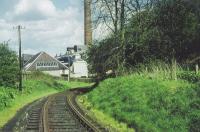
![<h4><a href='/locations/C/Currie_2nd'>Currie [2nd]</a></h4><p><small><a href='/companies/B/Balerno_Branch_Caledonian_Railway'>Balerno Branch (Caledonian Railway)</a></small></p><p>A view east of Currie station looking towards Kinleith Mill. The station loop is behind the camera. 31/81</p><p>//<br><small><a href='/contributors/Don_Shaw'>Don Shaw</a></small></p>](/__cache/thumbnails/79000/79484.jpg)
![<h4><a href='/locations/C/Currie_2nd'>Currie [2nd]</a></h4><p><small><a href='/companies/B/Balerno_Branch_Caledonian_Railway'>Balerno Branch (Caledonian Railway)</a></small></p><p>This is the course of the Balerno branch immediately to the east of Currie station with the line crossing the road, seen looking north west on 16 December 2019. The passenger entrance to the station can just be discerned from the change in stonework to the right of the lampposts. Non-nerd cameras here would be pointed at the attractive Currie Kirk in whose grounds I am standing. 32/81</p><p>16/12/2019<br><small><a href='/contributors/David_Panton'>David Panton</a></small></p>](/__cache/thumbnails/71000/71707.jpg)
![<h4><a href='/locations/K/Kinleith_Mill'>Kinleith Mill</a></h4><p><small><a href='/companies/B/Balerno_Branch_Caledonian_Railway'>Balerno Branch (Caledonian Railway)</a></small></p><p>Part of the closed Kinleith paper mill (1792-1966) seen from the trackbed of the Balerno branch in September 2002. Following closure some of the redundant buildings were taken over by small businesses but latterly the site has been redeveloped for housing. See <a href='/img/55/77/index.html'>55077</a>. [Ref query 2311] 38/81</p><p>22/09/2002<br><small><a href='/contributors/John_Furnevel'>John Furnevel</a></small></p>](/__cache/thumbnails/55000/55024.jpg)
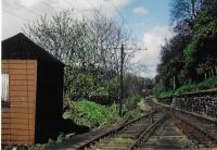
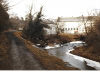
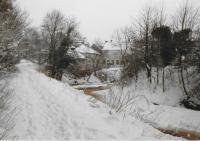
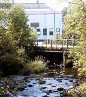
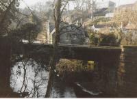
![<h4><a href='/locations/W/Woodhall_Mill_Paper'>Woodhall Mill [Paper]</a></h4><p><small><a href='/companies/B/Balerno_Branch_Caledonian_Railway'>Balerno Branch (Caledonian Railway)</a></small></p><p>This is the view east alongside Woodhall Mill. This mill was west of Juniper Green station. 44/81</p><p>//<br><small><a href='/contributors/Don_Shaw'>Don Shaw</a></small></p>](/__cache/thumbnails/79000/79493.jpg)
![<h4><a href='/locations/W/Woodhall_Mill_Paper'>Woodhall Mill [Paper]</a></h4><p><small><a href='/companies/B/Balerno_Branch_Caledonian_Railway'>Balerno Branch (Caledonian Railway)</a></small></p><p>The Woodhall Mill approach road from Juniper Green station is seen in a view looking east. The mill is behind the camera. 45/81</p><p>//<br><small><a href='/contributors/Don_Shaw'>Don Shaw</a></small></p>](/__cache/thumbnails/79000/79494.jpg)
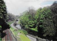
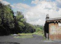
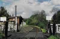
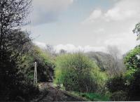
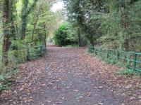
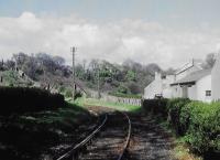
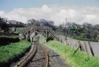
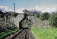
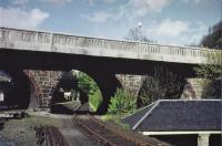
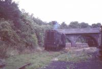
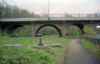
![<h4><a href='/locations/C/Colinton'>Colinton</a></h4><p><small><a href='/companies/B/Balerno_Branch_Caledonian_Railway'>Balerno Branch (Caledonian Railway)</a></small></p><p>The old goods platform at Colinton looking north east in August 2003. The station proper was located on the other side of the bridge carrying the B701 over the trackbed (and the Water of Leith). The line lost its passenger service in 1943, although freight traffic continued for more than 20 years serving the surviving paper mills see image <a href='/img/55/24/index.html'>55024</a>. [Ref query 2620] 57/81</p><p>02/08/2003<br><small><a href='/contributors/John_Furnevel'>John Furnevel</a></small></p>](/__cache/thumbnails/56000/56932.jpg)
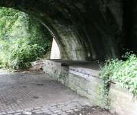
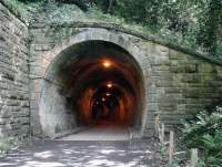
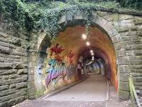
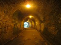
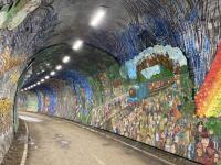
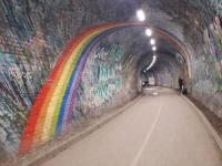
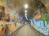
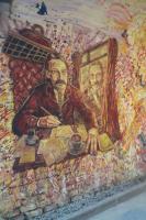
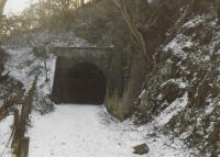
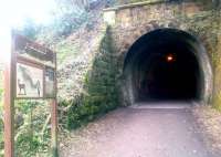
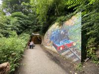
![<h4><a href='/locations/C/Colinton_Tunnel'>Colinton Tunnel</a></h4><p><small><a href='/companies/B/Balerno_Branch_Caledonian_Railway'>Balerno Branch (Caledonian Railway)</a></small></p><p>The Edinburgh end of Colinton Tunnel on the Balerno branch in July 2017. Colinton station lay just beyond the other end of the tunnel see image <a href='/img/20/499/index.html'>20499</a>. The line finally closed in 1967 and is now part of the Water of Leith Walkway. [Ref query 1659] 74/81</p><p>27/07/2017<br><small><a href='/contributors/John_Furnevel'>John Furnevel</a></small></p>](/__cache/thumbnails/60000/60150.jpg)
