Dalmellington Iron Company (Phase 3)
Portions of line and locations
This line is divided into a number of portions.
Houldsworth Mine Branch
Coal mine, 206 fathoms deep. ...
More details
Craigmark Branch Extension
Coal mine. ...
More details
Iron Works to Minnivey, Pennyvenie, Benbain and Beoch Pits
This was the loading point for Laight Mine, which was to the north. The loops here remained in use as loop on the Pennyvenie Road until the new alignment via Cutler Tip was opened in 1927. ...
More detailsIronstone mine. Dates approximate. The mine was connected to the loading point at Laight Mine Loop by a tramway. The mine was number 1, the only Laight Mine. ...
More detailsThis loop replaced the Laight Mine Loop. This had been the loading point for the Laight Mine and was retained as a passing loop after closure of the mine.
...
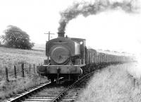
John Furnevel 04/03/1972
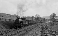
Bill Roberton 01/08/2016
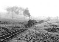
John Furnevel 04/03/1972
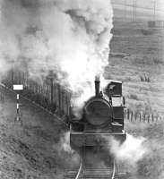
John Furnevel 04/03/1972
This washery was immediately east of the Burnton Loop. It handled coal from Chalmerston No 4,5 Collieries, just to the north.
...
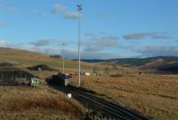
Ewan Crawford 22/02/2004
Coal mine. ...
More detailsCoal mine. Presumed location. ...
More details


