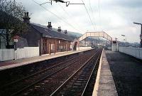
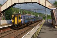
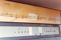
Bowling

Bowling Map of 1922 showing CR and NBR lines through Bowling and Dumbuck.
Location: Bowling
Original line: Ordnance Survey
Photographer: Alistair MacKenzie
Contact photographer: Alistair MacKenzie
Photosets: Maps - mainly of stations
Date: 1922
Image number: 20449
Tags: MapOther photographs of Bowling on RailScot
 |  |  |  |  |  |  |  |  |  |

