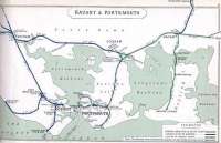
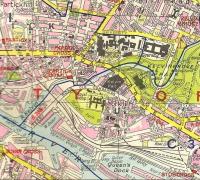
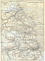
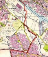
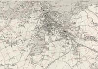
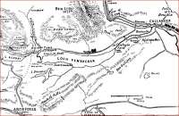
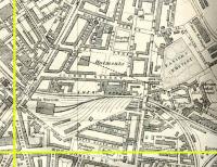
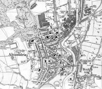
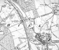
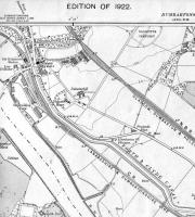
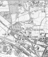
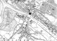
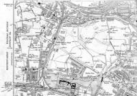
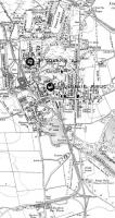
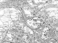
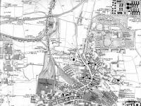
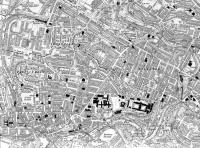
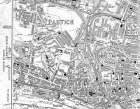
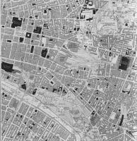
Maps - mainly of stations
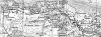
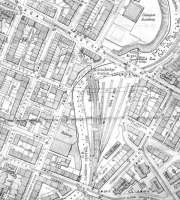
Parts of old OS sheets showing stations. I was lucky ehough to rescue most of my OS sheets from being dumped when they were being updated at my place of work. Some other maps, showing routes, are in other photosets.
Alistair MacKenzie
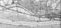
![<h4><a href='/locations/R/Russia'>Russia</a></h4><p><small><a href='/companies/G/Great_Siberian_Railway'>Great Siberian Railway</a></small></p><p>Great Siberian Railway runs between Vladivostock and St Petersburg and eventually Murmansk. It was built between 1891 and 1916. [Extract from GSR Guide of 1900] 19/27</p><p>//2009<br><small><a href='/contributors/Alistair_MacKenzie'>Alistair MacKenzie</a></small></p>](/__cache/thumbnails/22000/22022.jpg)
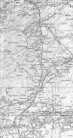
![<h4><a href='/locations/R/Russia'>Russia</a></h4><p><small><a href='/companies/G/Great_Siberian_Railway'>Great Siberian Railway</a></small></p><p>Historical map of the Great Siberian Railway between Vladivostock and St Petersburg and on to Murmansk, it was continued on to Peking and was built between 1891 and 1916. [Extracts from GSR Guide of 1900]. 20/27</p><p>//2009<br><small><a href='/contributors/Alistair_MacKenzie'>Alistair MacKenzie</a></small></p>](/__cache/thumbnails/22000/22214.jpg)