Inverness and Perth Junction Railway
Introduction
This railway opened over high ground, thought to perhaps be impassable for a railway, to connect the Lowlands of Scotland to Inverness without having to take the long route round via Aberdeen. Although much of the line is single track it is well engineered. Its stations serve a relatively low population.
This line is open. Passenger services are provided by ScotRail from Inverness to Perth, Glasgow and Edinburgh.
The line is supported and promoted by the Highland Main Line Community Partnership .
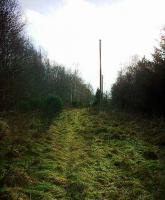
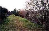
The northern portion between Aviemore and Forres was replaced by the Inverness and Aviemore Direct Railway (Highland Railway) and closed in the late 1960s. The portion from Aviemore to Broomhill is now the preserved Strathspey Railway (Preserved) (Strathspey Railway ) and from Grantown-on-Spey (West) to Forres it is the Dava Way (Dava Way ).
Why built
This 1863 line enormously reduced the distance, by rail, between the lowlands and Inverness. Prior to its opening the route to Inverness was via Aberdeen.
The line itself was to be improved upon in 1898 when a shortcut between Aviemore and Inverness opened, shorter than the line's original approach via Forres [2nd].
The majority of the line remains open between Dunkeld and Aviemore, except for the portion between Broomhill and Forres [2nd] over Dava. Between Aviemore and Broomhill is operated by the Strathspey Railway (Preserved).
Architecture
The design of goods shed which was used on this line, and was to become commonly used on the Highland Railway, was based on the sheds on the Forth and Clyde Junction Railway.
Dates
Portions of line and locations
This line is divided into a number of portions.
Dunkeld to Forres
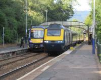
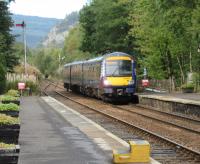
This is a two platform station which for originally the terminus of the line from Stanley Junction before the Inverness and Perth Junction Railway extended the line north to Inverness via Forres.
...
See also
Perth and Dunkeld Railway
David Panton 29/09/2020
David Panton 29/09/2020
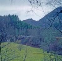
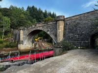
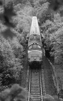
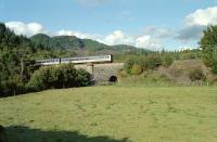
This single track viaduct is immediately east of Inver Tunnel. It is west of Dunkeld station. The engineer was Joseph Mitchell.
...
Ewan Crawford //1990
Network Rail /09/2023
...
Bill Roberton //1992
Ewan Crawford //1991
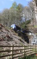
This is a single bore 350 yd tunnel north of Dunkeld station and the Inver Viaduct. The northern tunnel mouth is directly to the south of the A9, the railway emerging from the tunnel and plunging into a concrete box bridge crossing the line.
...
Mark Bartlett 21/04/2022
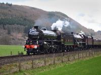
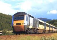
This passing loop was north of Dunkeld. It was located on the west bank of the River Tay and, in its original form, had both north and south boxes. The loop line was on the west side and boxes on the east side.
...
Bill Roberton 21/04/2018
Ewan Crawford //
Brian Forbes 30/06/2011
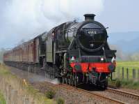
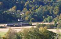
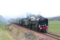
This was a two platform station with a passing loop and the main building on the northbound platform. There was a goods yard to the south, on a loop which was approached by reversal from the northbound platform or from the southbound line at the south end of the loop, crossing over the line to reach the goods yard.
...
Bill Roberton 02/05/2017

Bill Roberton 25/02/2012
Brian Forbes /10/2007
Jim Peebles 13/04/2010
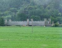
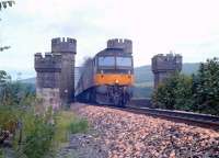
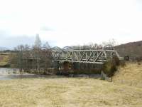
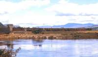
This is a single track viaduct over the River Tay just north of the former Dalguise station. The castellated abutments are rather fine. It consists of two lattice girders of 210ft and 141ft. The southern girder is the longer and there are castellated abutments at either end, designed to please the Duke of Atholl.
...

Network Rail 21/02/2021
Frank Spaven Collection (Courtesy David Spaven) /08/1962
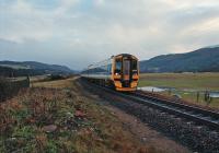
This was a one platform station, on a single track mainline, with a timber station building. The platform was on the east side of the line. The small village of Guay was to the north east, some of which has been obliterated by the building of the modern A9. At its site, the line follows the east bank of the River Tay.
...
Ewan Crawford //1996
This was a three platform station with two platforms on either side of the loop and a second face of the northbound platform served the Aberfeldy branch, there being a loop alongside the curving platform. The main station building was on the southbound main line platform and there was a waiting room on the northbound and Aberfeldy platform between the two platform faces.
...
See also
Aberfeldy Branch (Inverness and Perth Junction Railway)

Brian Haslehust //1965
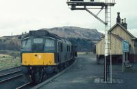
Brian Haslehust //1965
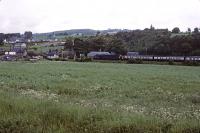
Roger Geach 24/06/1979
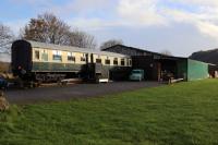
Mark Bartlett 05/11/2022
This was a passing loop between Pitlochry station (to the north) and the former Killiecrankie station to the south. To the south is Moulinearn Level Crossing.
...
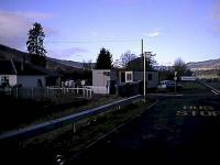
Ewan Crawford 06/02/2002
Ewan Crawford 06/02/2002
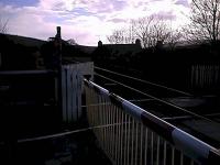
This footway level crossing is in Pitlochry, south of the Prospect Place Foot Crossing, connecting Bruach Lane (south) to Atholl Road (north).
...
Mark Bartlett 13/04/2022
Mark Bartlett 18/04/2019
Mark Bartlett 16/04/2019
Mark Bartlett 13/04/2019
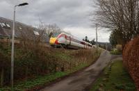
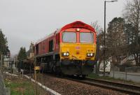
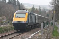
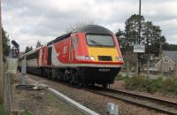
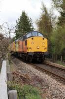
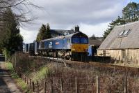
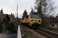
This footway level crossing is south of Pitlochry station.
...
Mark Bartlett 16/04/2022
Mark Bartlett 08/04/2022
Mark Bartlett 14/04/2022
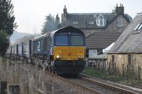
Mark Bartlett 17/04/2019
This is a two platform station. It has a station building on the up (southbound) platform with crow stepped gables, a lattice footbridge and superior timber waiting room building on the down platform.
...
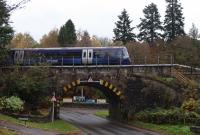
Mark Bartlett 06/11/2022
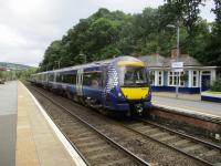
David Bosher 12/09/2017
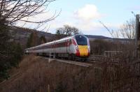
Mark Bartlett 09/04/2022
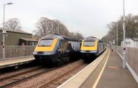
Mark Bartlett 16/04/2022
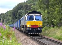
This level crossing is north of Pitlochry station. There is a foot crossing and a road crossing (infrequently used).
...
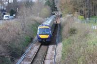
Mark Bartlett 13/04/2019
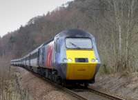
Bill Roberton 22/03/2015
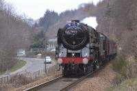
Bill Roberton 13/04/2010
Bill Roberton 19/07/2011
This foot level crossing gives access to Faskally Cottages. The cottages are on the north side of the line and the crossing gives access from an A9 slip road. East Lodge Cottages are further to the east.
...
The A9 crosses the Highland Main Line by means of a box, or covered way, north of Pitlochry near Faskally House.
...
Mark Bartlett 09/04/2022
Bill Roberton 21/03/2015
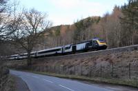
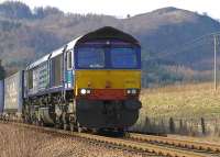
In the pass of Killiecrankie the Highland Main Line runs on a shelf on the steep east bank of the River Garry. Going north from the A9 Box Bridge [Faskally] it passes under the B8019 (old A9) box bridge, B8019 Garry Bridge (both dating from 1969), a footbridge by the old Bridge of Garry and over the old road leading to the old bridge. Beyond these bridges it runs north to the [[Killiecrankie ...
More details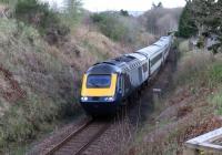
Mark Bartlett 18/04/2022
Mark Bartlett 13/04/2022
Mark Bartlett 06/11/2022
Mark Bartlett 13/04/2022
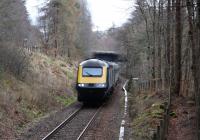
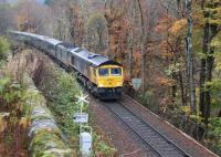
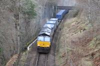
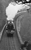
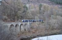
This is a single track castellated stone viaduct of ten arches in the Pass of Killiecrankie. The viaduct is 109 yds long and each arch is 35ft long, 54 ft above the River Garry. The Garry is not crossed, the viaduct runs alongside it on very steep ground of the north/east bank.
...
David Bosher 21/07/2017
Bill Roberton 06/11/1993
Mark Bartlett 09/04/2022
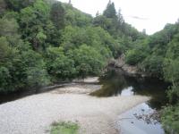
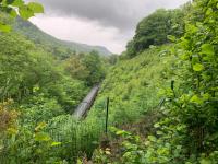
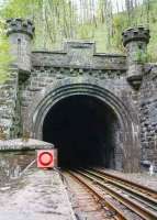
This is a single bore tunnel of 240 yards.
...
...
Network Rail /06/2022
David Panton /05/1995
John Robin 21/08/1965
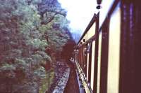
This was a two platform station with ornate timber buildings featuring canopies. The station is closed but the line remains open. The station was a loop on the single track Highland main line. The platforms extended out on either side of the fine lattice girder bridge which carried a minor road and crossed the middle of the station. The buildings were to the east. The main building was on the ...
More details
Network Rail /08/2021
Mark Bartlett 15/04/2019
Mark Bartlett 15/04/2019
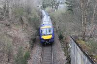
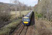
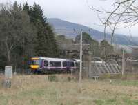
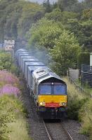
This single track 150ft lattice girder viaduct is just east of Blair Atholl station's level crossing and crosses the River Tilt. The bridge has fine castellated stone abutments at either end (to please the Duke of Atholl whose Blair Castle is about half a mile to the north). The engineer was Joseph Mitchell.
...
Mark Bartlett 05/04/2014
...
Bill Roberton 31/07/2009
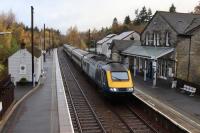
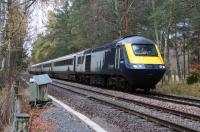
This two platform station has a two storey stone building on the up (southbound) platform and a timber one on the down platform. It is at the south end of a long double track section north to Dalwhinnie, the line to the south is single track.
...
Mark Bartlett 07/11/2022
Bill Roberton //1993
Mark Bartlett 07/11/2022
The Black Island is a strip of land west of Blair Atholl station, and Blair Castle, between the railway and the River Garry.
...
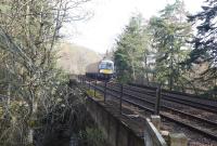
This is a two arch viaduct - a principal arch over the Bruar Water and a much smaller arch over a footpath. The viaduct was doubled when a second line was added. ...
More details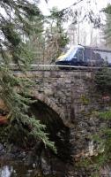
Mark Bartlett 13/04/2022
Mark Bartlett 17/04/2019
...
Bill Roberton 28/07/2009
Mark Bartlett 17/04/2019
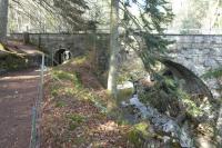
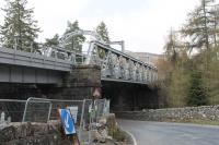
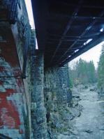
This is a pair of single track viaducts, one masonry and the other girder, carrying a double track over the River Garry and a minor road's bridge just east of the former Struan station. The viaduct is known as Struan Viaduct, Garry Viaduct and Calvine Viaduct.
...

Mark Bartlett 15/04/2019
Mark Bartlett 15/04/2019
Ewan Crawford //1994
Rod Crawford 11/12/2015
This was a two platform station just west of the Garry Viaduct. The platforms remain here, out of use, and there are some Highland Railway style worker's cottages.
...
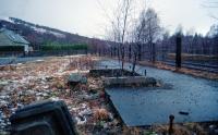
Ewan Crawford //1994
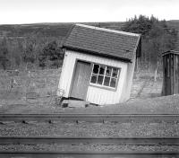
Bill Roberton 21/04/1978
South of the Allt an Dubh Choire bridge the line was a cutting (33 ft deep) which suffered from deep drifting snow when the line was single track. Partly as a result there were railway cottages here on the north/east side of the line. With doubling the cutting was further opened out and the situation improved. A temporary signal box came into use here on the 5th of May of 1898 related to the ...
More detailsThis 1942 box was opened further east than Dalanraoch Box [1st] which it replaced. Edendon Signal Box opened further west around the same time, the alterations reducing the length of sections. This box was three quarters of a mile east of the first box.
...
This box opened in 1900 when the line from Blair Atholl, to the south east, was doubled.
...
This box controlled a passing loop during the period 1966-1978 that the line betweenBlair Atholl and Dalwhinnie reverted to a single track with passing loops, one loop being at Dalanraoch. The box opened in 1966, replacing the older Dalanraoch Signal Box [2nd].
...
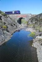
Ewan Crawford 25/05/2012
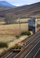
Bill Roberton 15/11/2007
This bridge crosses the River Garry between the sites of Edendon Signal Box (to the west) and Dalanraoch Signal Box [3rd] (to the east).
...
Frank Spaven Collection (Courtesy David Spaven) //1960
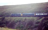
Bruce McCartney /08/1969
This wartime signal box split the section between Dalnaspidal and Dalanraoch Signal Box [2nd]. Dalanraoch box was relocated to Edendon and a new 'Dalanraoch' box provided further east. The relocated Dalanraoch combined with Edendon increased line capacity for additional wartime traffic. The box placed at Edendon was a traditionally styled signal box and was located on the south side of ...
More details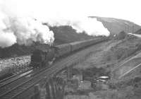
Frank Spaven Collection (Courtesy David Spaven) //1960
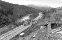
Bill Roberton /04/1978
Frank Spaven Collection (Courtesy David Spaven) //1977
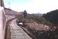
This was a two platform station, the platforms slightly staggered and main station building on the southbound platform.
...
Ewan Crawford 05/10/2018
Peter Todd 25/08/1980
Ewan Crawford 05/10/2018
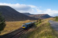
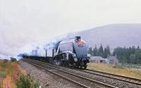
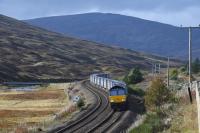
This intermediary signal box was located between the former station at Dalnaspidal and former Balsporan Box. It was a little south of Druimuachdar Summit.
...
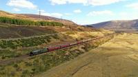
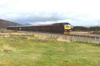
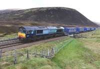
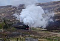
Druimuachdar Pass Summit is 1,484 ft above sea level. The line is double track. It is the highest main line summit in Britain. (The highest standard gauge line was at Wanlockhead at 1,498 ft, closed 1939.)
...
John Gray 23/04/2022
John Gray 10/05/2014
John Gray 10/05/2014
John Gray 10/05/2019
This intermediate box broke the section between Dalnaspidal, to the south, and Dalwhinnie, to the north. The Gaelic name is Beul an Sporain.
...
Ewan Crawford //1998
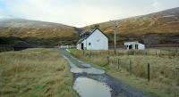
This level crossing is south of Dalwhinnie station. A private road, which runs south west along the north shore of Loch Ericht into the Ben Alder Estate, crosses the double track line here.
...
John Gray 03/05/2017
John Gray 03/05/2017
Ewan Crawford //2000
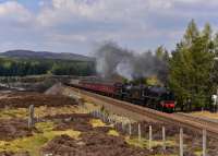
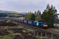
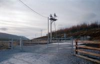
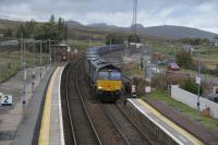
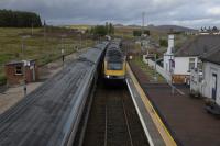
This two platform station still has a station building, signal box and footbridge. It is located at the north end of the double track section from Blair Atholl. The main building is on the southbound platform. The station is at 1174 ft above sea level.
...
See also
Dalwhinnie Distillery Branch
Peter Todd 29/09/2023
...
Peter Todd 29/09/2023
This distillery was established by John Grant, George Sellar and Alexander Mackenzie at a site just to the north of Dalwhinnie village.
...
See also
Dalwhinnie Distillery Branch
Rail Served Distilleries
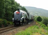
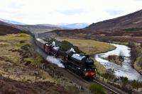
This was a crossing on the single track line north of Dalwhinnie and south of Etteridge Crossing, itself south of Newtonmore.
...

John Gray 23/04/2022
John Gray 04/07/2009
John Gray 21/04/2018
This loop was on the single track line south of Newtonmore and north of Inchlea Crossing and Dalwhinnie. There was a single signal box.
...
Peter Todd 25/08/1980
This ballast siding was south west of Newtonmore. Also known as Newtonmore Ballast Siding.
...
See also
Ballast Sidings
This is a single track girder viaduct south of Newtonmore station which crosses the River Spey. It has two sections and a central pier. Also known as Newtonmore Viaduct.
...
Frank Spaven Collection (Courtesy David Spaven) //1961
John Gray 14/02/2007
Frank Spaven Collection (Courtesy David Spaven) 05/08/1961
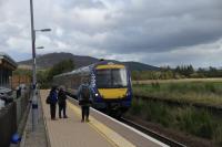
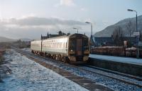
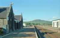
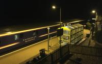
This is a single platform station. It was formerly a two platform station with a passing loop, however the southbound line was lifted in the 1980s.
...
...
Peter Todd 25/09/2023
Ewan Crawford 31/12/1994
Ewan Crawford //1989
...
Dave Bushell 30/09/2018
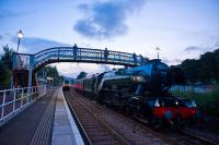
This is a two platform station with a passing loop on a single track line. The station has a large fine station building on the northbound platform with large glazed platform canopy. There is a siding on the east side, approached from the south. A lattice bridge links the platforms. The station is at 745 ft above sea level.
...
John Gray 14/09/2023
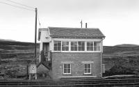
This 1942 wartime signal box controlled a loop on the single track 6 mile section between Kingussie (to the south west) and Kincraig (to the north east). The box was about midway, a little closer to Kingussie around the 2.5 miles north. A siding had been installed here in 1904.
...
John Gray 24/04/2018
John Gray 15/06/2013
This is a passing loop, formerly a station, to the south of (and controlled by) Inverness Signalling Centre.
...
John Gray 08/06/2006
This loop, opened in 1903, was located between Aviemore (to the north) and Kincraig. The southbound line was the original, the northbound the added loop. Catch points were added at the north end of the southbound line.
...
This is a three platform station, formerly with a bay at the north end on the west side. The station was rebuilt and enlarged when Aviemore became a junction on the opening of the Direct Line to Inverness via Carrbridge. The name Aviemore is from Gaelic, 'An Aghaidh Mhòr' - The big (mountain) face, describing the hill Craigellachie which lies to the west.
...
See also
Inverness and Aviemore Direct Railway (Highland Railway)
Aviemore and Coylumbridge Timber Railway (War Department)
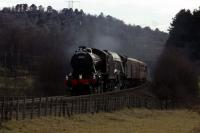
John Clark 10/04/2007
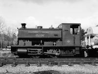
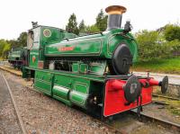
This was the southern terminus of the Strathspey Railway [Preserved].
...
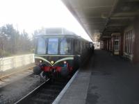
David Bosher 24/02/2018
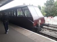
John Yellowlees 15/09/2023
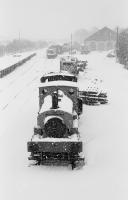
Bill Roberton //1985
John McIntyre /04/1979
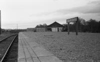
A small marshalling yard was laid out at Aviemore in the Second World War to allow southbound trains from the Forres [2nd] and Inverness routes to be sorted into Glasgow and Edinburgh portions and merged. It was an expansion of an existing set of sidings.
...
See also
Inverness and Aviemore Direct Railway (Highland Railway)
Bill Roberton //1979
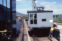
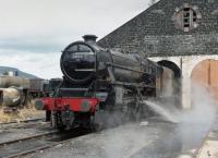
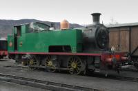
This is a working shed, used by the Strathspey Railway [Preserved].
...
Bill Roberton //1982
...
Bill Roberton //2006
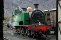
Bill Roberton 02/04/2006
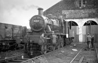
Bill Roberton //1977
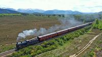
John Gray 05/06/2021
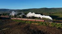
John Gray 31/12/2019
John McIntyre /08/1992
John McIntyre 17/08/1989
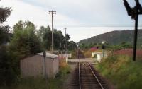
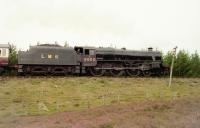
This is a preserved station on the Strathspey Railway. The architect of the station building, (dating from around 1904), was William Roberts. A 1860s stone portion, house styled like at Dava, is extended by the newer timber portion. It was a junction station, the line from Perth dividing here to go north to Forres or north east via Strathspey to Keith. The station is 712 ft ...
More detailsSee also
Strathspey Railway
John McIntyre /04/1977
...
John Gray 15/09/2023
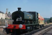
Roger Geach /08/1976
...
John Gray 24/09/2022
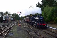
This is a single platform station on the Strathspey Railway (Preserved). The station is a superb reconstruction of the station in its former form.
...
...
John Gray 19/04/2023
...
Peter Todd 24/09/2023
...
John Gray 18/03/2022
John Gray 12/09/2022
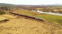
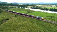
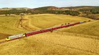
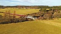
This single track viaduct is located north of Broomhill station.
...
John Gray 18/03/2022
John Gray 18/03/2022
Alan Cormack 05/11/2017
Alan Cormack 05/11/2017
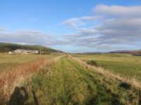
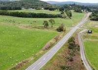
South west of Grantown-on-Spey West station the A95 crossed under the Inverness and Perth Junction Railway. The bridge which carried the road under the line still stands to the west of the re-aligned road which now runs straight through the closed railway trackbed. There had been a tight bend on the approach to the bridge from the south west. This missing bridge is a major impediment to ...
More details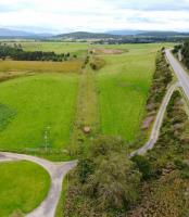
John Gray 23/08/2023
John Gray 23/08/2023
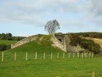
John Gray 15/10/2008
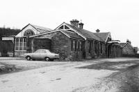
This was a two platform to the south west of Grantown-on-Spey. The station was at 737 ft above sea level.
...
John McIntyre /04/1977

John McIntyre /04/1977
Ewan Crawford //1993
Ewan Crawford 05/10/2018
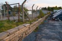
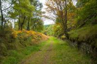
This private station, skewed bridge over a road, gatehouse and entry arch were built at the expense of the railway company to the design of the local landowner, the Earl of Seafield. The building was the East Lodge for the estate. The engineer was Joseph Mitchell.
...
Ewan Crawford 07/10/2018
John Gray /07/2006
John Gray /07/2006
John Gray /07/2006
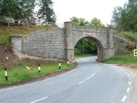
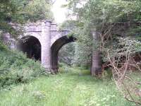
This three arch bridge carries a minor Castle Grant [Castle] estate road over the former trackbed. The bridge is 'B' listed.
...
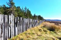
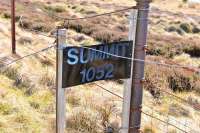
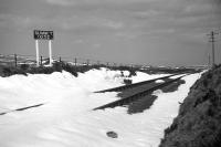
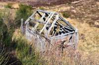
This was a summit of the line between Dava (to the north) and Castle Grant Platform at 1,052 ft.
...
John Gray 20/04/2014
John Gray 20/04/2014
David Spaven /04/1968
This was a two platform station with very long platforms capable of handling 12 carriage trains as this was a former mainline. The main station building was on the northbound platform, two storeys with a timber single storey waiting room extension. The station was 985 ft above sea level.
...
John Gray 20/04/2014
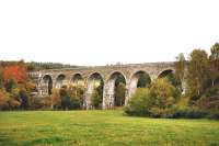
This disused tall seven arch single track masonry viaduct still stands. The viaduct is 477 ft long overall with 7 arches spanning 45 ft, the highest being 105 ft high.
...
John Gray 14/10/2010
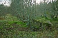
This was a two platform station with a passing loop on the single track Aviemore to Forres former main line of the Highland Railway.
...
Ewan Crawford //1998
Matt Jolley /4/2007
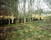
This was a timber siding, also known as Sluie Timber Siding. There was timber extraction in the Altyre Woods between 1917 and 1918, which included 3ft lines.
...
This 'B' listed road bridge carries a minor road over the former line. The bridge was originally built over the Altyre Burn and then extended to the east to cross the railway.
...
This station was opened with the line, but closed very shortly afterwards.
...
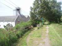
Dallas Dhu Distillery opened in 1899 and this halt opened to serve it. The distillery is to the west of the railway. There were sidings for the distillery, served from the north.
...
Mark Bartlett 02/07/2011
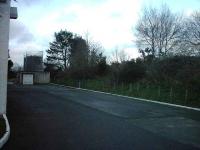
Matthew Tomlins /04/2007
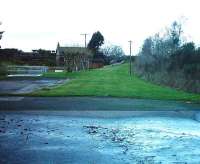
Matthew Tomlins /4/2007
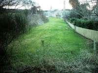
Matthew Tomlins /04/2007
This junction was the southern apex of the triangular junction created with the opening of the Inverness and Perth Junction Railway and its Forres [2nd] station.
...
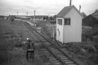
David Spaven //1969
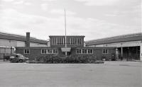
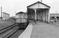
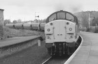
This station is now closed, replaced by Forres. By the late 1960s a single platform remained of a five platform station. A passing loop was retained to the east of the station. The station remained in this form until 2017. This was not a good design a late running train could result in another train, due to pass it, being held in the loop outwith the station - passengers could neither join nor ...
More details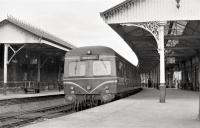
Brian Haslehust 17/08/1965
Brian Haslehust 17/08/1965
Brian Haslehust 17/08/1965
Bill Roberton //1991
This junction was the western apex of the triangular junction created with the opening of the Inverness and Perth Junction Railway and its Forres [2nd] station in 1863. The line met the existing 1858 Inverness and Aberdeen Junction Railway.
...
See also
Inverness and Aberdeen Junction Railway
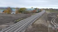
Crinan Dunbar 19/11/2017
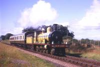
Frank Spaven Collection (Courtesy David Spaven) /09/1965
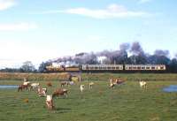
Frank Spaven Collection (Courtesy David Spaven) /09/1965
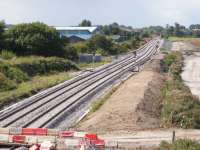
Douglas Blades 29/08/2017
Forres south to east curve
This junction was the southern apex of the triangular junction created with the opening of the Inverness and Perth Junction Railway and its Forres [2nd] station.
...

David Spaven //1969
This station is now closed, replaced by Forres. By the late 1960s a single platform remained of a five platform station. A passing loop was retained to the east of the station. The station remained in this form until 2017. This was not a good design a late running train could result in another train, due to pass it, being held in the loop outwith the station - passengers could neither join nor ...
More details
Brian Haslehust 17/08/1965

Brian Haslehust 17/08/1965

Brian Haslehust 17/08/1965

Bill Roberton //1991
This junction was the eastern apex of the triangular junction created with the opening of the Inverness and Perth Junction Railway and its Forres [2nd] station in 1863. The line met the existing 1858 Inverness and Aberdeen Junction Railway.
...
See also
Inverness and Aberdeen Junction Railway
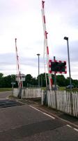
Alan Cormack 21/06/2017
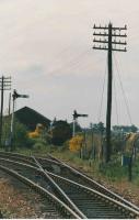
Crinan Dunbar //1988
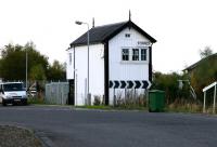
John Furnevel 03/11/2005
Speyside Distillery Branch
This is a two platform station with a passing loop on a single track line. The station has a large fine station building on the northbound platform with large glazed platform canopy. There is a siding on the east side, approached from the south. A lattice bridge links the platforms. The station is at 745 ft above sea level.
...

John Gray 14/09/2023
This distillery was in the west of Kingussie and was rail served by a short branch which departed the south end of the station to cross the A86 to reach the distillery. The distillery opened in 1896 and closed in 1906.
...
See also
Rail Served Distilleries
Books


