Dunfermline Branch (Edinburgh and Northern Railway)
Introduction
This important branch ran from Thornton Junction to Dunfermline Upper. Today it forms the northern part of the Fife Circle and carries a regular service. The original line is open except through Cowdenbeath and the western end at Dunfermline Upper.
Dates
Portions of line and locations
This line is divided into a number of portions.
Thornton to Dunfermline
Opened in 1848.
This is a four way junction. To the north the main line runs north to Ladybank and the line branch to Cameron Bridge and Levenmouth, which is being re-doubled and electrified, runs off to the north east.. (This formerly ran to Leven [2nd] and the Fife Coast railway to St Andrews [2nd].) To the south the Dunfermline Branch heads west from the main line which runs south to ...
More detailsSee also
Edinburgh and Northern Railway
Leven Railway
Wemyss and Buckhaven Railway
Bill Roberton 22/08/2022
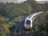
...
Bill Roberton 26/10/2022
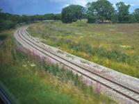
Bill Roberton 15/07/2023
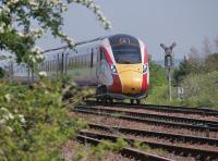
...
Bill Roberton 01/06/2021
This is the junction between the single track lines from Thornton North Junction and Thornton South Junction. It is west of Glenrothes with Thornton station and replaced Thornton West Junction [1st].
...

Bill Roberton 13/07/2023
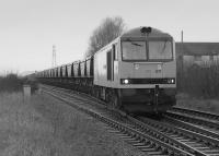
Bill Roberton //1993
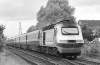
Bill Roberton /07/1998
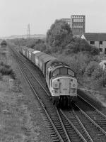
Bill Roberton //1991
This is a modern two platform station. On the north side is the station car park, once the site of sidings approached by reversal from Thornton West Junction [1st].
...
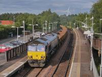
Bill Roberton 13/07/2023
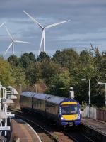
Bill Roberton 13/10/2021
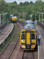
Bill Roberton 13/07/2023
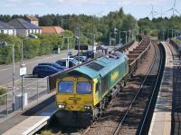
Bill Roberton 17/08/2022
This was the western apex of the triangle of lines formed with Thornton North Junction and Thornton South Junction.
...
See also
Wemyss and Buckhaven Railway
Thornton Marshalling Yard and Rothes Pit (British Railways)
Thornton Junction Station to Thornton West Curve (North British Railway)
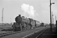
Thornton Junction Shed relocated from within the triangular junction to west of Thornton West Junction. The new shed was a larger site, located to the south of the line and approached from the east.
...
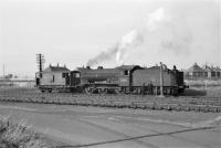
Robin McGregor 20/09/1966
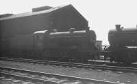
K A Gray //1966
...
Robin McGregor 20/09/1966
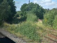
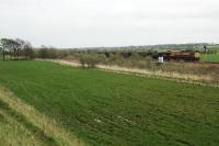
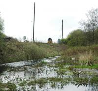
Redford Siding existed prior to 1913. In 1913 the Lochore and Redford Extension (North British Railway) extended the Kinglassie Colliery line to Redford (to create a loop from Kelty). This crossed the Redford Siding which was connected to the new line instead of continuing to make its own collection. Redford Junction was to the east of the original connection.
...
See also
Thornton Marshalling Yard and Rothes Pit (British Railways)
...
Bill Roberton 17/08/2022
Ewan Crawford //
Ewan Crawford //
Bill Roberton //1990
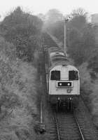
This signal box was located between the later Clunybridge Junction to the west and Redford Siding to the east. The box was on the south side of the line and there was a trailing cross over. It opened in 1899. It was later known as Dogton Colliery. The colliery did not develop (unlike the earlier Brandies Pit near the Clunie Coal Siding and later largely unsuccessful [[Rothes ...
More detailsThis junction is the western approach to Thornton Yard. It was a double track junction leading to the down arrival sidings and up departure sidings. The signal box was on the north side of the junction (it closed in 1981 as part of the Edinburgh Signalling Centre. The junction was rationalised and is now a single lead junction.
...
See also
Thornton Marshalling Yard and Rothes Pit (British Railways)
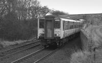
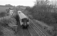
This siding was west of Clunybridge Junction and east of Clunie Coal Siding. The siding was on the south side of the line. There was a signal box, closed in 1928.
...
Bill Roberton //1993
Bill Roberton //1990
Bill Roberton /03/1993
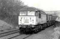
This siding was east of Cardenden. It was on the south side side of the line and a tramway ran south to Carden Colliery Brandies Pit. There was a signal box, closed in 1910.
...
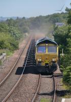
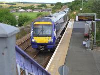
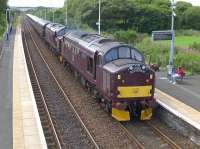
This is a two platform station with slightly staggered platforms. A lattice footbridge survived and there are modern glazed shelters, the larger on the up (Edinburgh) bound platform.
...
...
Bill Roberton 07/07/2022
Bill Roberton 21/07/2014
...
Bill Roberton 21/07/2014
This junction was west of Cardenden. To the north were Glencraig Colliery, Bowhill Colliery and Minto Colliery and to the south was Lady Helen Colliery. The northern mines were approached from the east and the Lady Helen Colliery from the west.
...
See also
Glencraig, Bowhill and Lady Helen Collieries Railway
Bill Roberton 17/05/1991
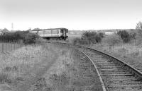
This junction was where the line from Lochgelly Iron Works and colliery met the Dunfermline Branch (Edinburgh and Northern Railway) at a reversing spur on the south side of the line. Just to the west the private Lochgelly Iron and Coal Company line passed under the railway before running north to the Lochgelly Iron Works and Lochgelly Colliery Nellie Pit.
...
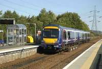
This is a two platform station to the north of the town of Lochgelly. The platform are slightly staggered, the eastbound one being slightly to the west of the westbound.
...
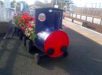
John Yellowlees 07/10/2014
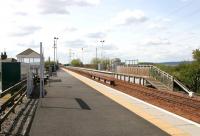
John Furnevel 29/05/2005
The 'Mary' Pit opened in 1904, so the box here must have served a siding associated with construction of the pit before it opened. In 1900 the box was renamed and in 1901 the box was replaced in connection with the opening of the 1902 double track curve to Lumphinnans North Junction. This provided an eastern exit for trains from Kelty.
...
See also
Lumphinnans North Junction to Lumphinnans East Junction (North British Railway)
This was originally the junction for the Kinross-shire Railway, opened 1860, with the Dunfermline Branch of the Edinburgh and Northern Railway.
...
See also
Kinross-shire Railway
Cowdenbeath North Junction to Lumphinnans Central Junction (North British Railway)
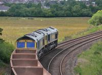
Bill Roberton 04/07/2022
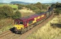
Bill Roberton //2005

Bill Roberton 20/05/2018
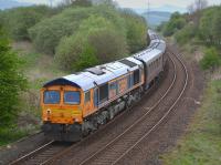
Bill Roberton 07/05/2018
This junction was to the south of Lumphinnans Central Junction. Here a line ran south west to Lumphinnans No 1 Colliery and Lumphinnans Iron Works.
...
This junction opened in 1894 with the opened of the Kirkcaldy District Railway (North British Railway). It met the existing former Dunfermline Branch (Edinburgh and Northern Railway). Access to the new line was from the south.
...
See also
Kirkcaldy District Railway (North British Railway)
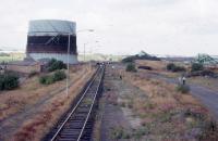
Roger Geach Collection 25/08/1976
This was a two platform station with a goods yard on the west (down) side of the line accessed from the north. Cowdenbeath Colliery Pit No 3 was located just to the north of the goods yard. The goods yard is now a car park.
...
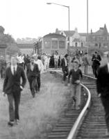
Bill Roberton 28/08/1976
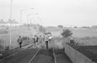
Bill Roberton 28/08/1976
These sidings were south of Cowdenbeath [1st] station and north of Cowdenbeath South Junction. There were colliery exchange sidings and junctions for mineral lines.
...
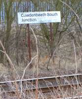
This junction was south of Cowdenbeath station. It opened in 1890 with Kelty to Cowdenbeath (North British Railway), one of the improvements of the Edinburgh to Perth route built for the opening of the Forth Bridge.
...
See also
Kelty to Cowdenbeath (North British Railway)
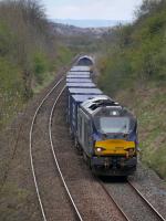
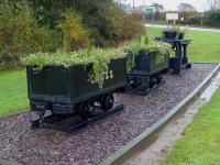
This two platform station was to the east of a cutting. The main station building was on the westbound platform and there waiting rooms at the west end of both platforms. A small goods yard was on the north side, approached from the east which served the small Mossend Iron Foundry. The signal box was on the westbound platform and closed in 1927.
...
...
Bill Roberton 02/05/2021
...
Bill Roberton 11/11/2019
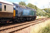
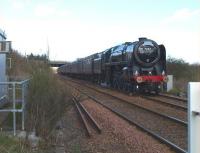
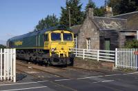
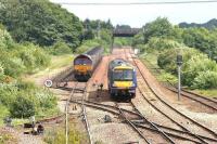
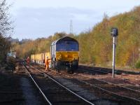
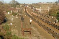
This was a two platform station bounded by a level crossing to the east and Townhill Yard to the west. The station building on the former eastbound platform remains, despite closure of the station in 1930.
...
Bill Roberton 03/08/2013
Brian Forbes 18/04/2010

Bill Roberton 03/08/2013
Bill Roberton 28/06/2011
John Furnevel 13/06/2006
Bill Roberton 27/10/2019
Ewan Crawford //1997

Ewan Crawford 22/04/2005
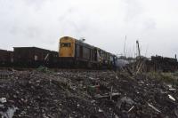
Roger Geach 06/05/1982
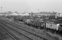
Bill Roberton //1974
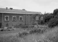
Bill Roberton //1986
The 1866 West of Fife Railway and Harbour, for Charlestown, met the 1849 Dunfermline Branch (Edinburgh and Northern Railway) at this junction. The location was just west of the Townhill Tramway route and Halbeath. Approach to the Charlestown line was from the east, the line running south west. The Dunfermline and Queensferry to the line to North Queensferry [1st] ...
More detailsSee also
West of Fife Railway and Harbour
West of Fife Mineral Railway

John Furnevel 13/06/2006
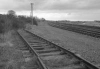
Bill Roberton //1992
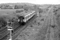
Bill Roberton 15/04/1992
This was the northern end of a curve opened 1890 with the Forth Bridge to allow a Edinburgh Waverley - Stirling service via Oakley in addition to other services.
...
See also
Dunfermline and Queensferry Railway
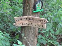
David Panton 25/08/2021
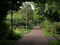
Bill Roberton 20/09/2021
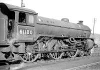
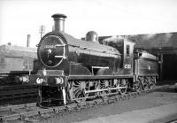
This shed replaced a smaller one which was beside Dunfermline Upper station, immediately to the south of the east end of the station, the site subsequently used for sidings.
...
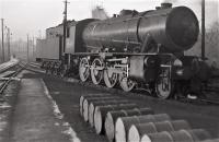
Robin McGregor 19/12/1962
Robin Barbour Collection (Courtesy Bruce McCartney) //
Robin Barbour Collection (Courtesy Bruce McCartney) //
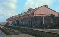
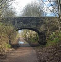
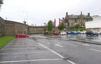
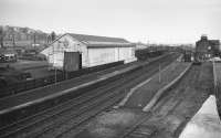
This was a station with two main through platforms, the north of which was an island with a second face. At the west end was a bay on the south side.
...
See also
Stirling and Dunfermline Railway
Ewan Crawford //1989
John Yellowlees 10/03/2017
Andy Furnevel 31/08/2019
Bill Roberton /12/1973
Thornton West to South Curve
Opened in 1878 by the North British Railway, the curve providing a route for the collieries served by the branch to the docks at Burntisland.
This was the western apex of the triangle of lines formed with Thornton North Junction and Thornton South Junction.
...
See also
Wemyss and Buckhaven Railway
Thornton Marshalling Yard and Rothes Pit (British Railways)
Thornton Junction Station to Thornton West Curve (North British Railway)
This junction was created in 1878 when the North British Railway opened a curve between Thornton West Junction [1st] on the Dunfermline Branch (Edinburgh and Northern Railway) and the main line of the Edinburgh and Northern Railway.
...
See also
Edinburgh and Northern Railway


