Edinburgh and Northern Railway
Introduction
This line is largely open. The line is also known by its later name the Edinburgh, Perth and Dundee Railway. Due to the number of art galleries, art studios and museums the line is also known as the Artline (The Artline ).
Architecture
- Station buildings -
The unique terminus building


Burntisland
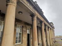
Architect thought to be David Bell. Built 1847. Two storey classical frontage with columned portico. Trainshed at rear demolished, although marks from the former roof remain on rear of building. Current station accessed via wooden passage from original entry.
Bigger station buildings

Markinch
Architect David Bell. Built 1847. Grey ashlar two storey house above platforms on retaining wall. The building is elevated as the station is located in a cutting.

Ladybank
Architect thought to be David Bell. Built 1847. Grey ashlar two and three storey house with adjoining long single storey ticket office.

Cupar
Architect thought to be David Bell. Built 1847. Two storey house with fine entrance with elliptical arches. Long range of buildings.
Smaller main station buildings


Kinghorn
Architect thought to be David Bell. Built 1847. Two storey ashlar station house with Tudor styled street frontage. Boxed in portico on platform side.

Springside.
Architect thought to be David Bell. Built 1847. Two storey ashlar station house with Tudor style in 'L' plan layout.
And on the Dunfermline branch

Dunfermline Upper
Similarities.
Other buildings

Kinghorn second building (cantilevered out). Removed?

Ladybank second building, late North British Railway style.

Cupar second building

Newburgh building

Burntisland
Ferry terminal building.


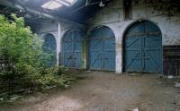
Ladybank Workshops, four track carriage shed. David Bell 1847. Latterly signal and telegraph works.

Ladybank (Laird's waiting room?)
Leuchars [2nd] is a newer NBR? or even LNER after burning by suffragettes? building.
Cupar Granary
Burntisland round house shed.
Viaducts

Markinch Viaduct
Thomas Grainger and John Miller 1847, 8 50ft arches, a 24ft arch at each end.
Kinghorn Viaduct
Thomas Grainger and John Miller 1847, 2 46ft segmental arches.
Kirkcaldy Linktown Viaduct
Thomas Grainger and John Miller 1847, 7 51ft segmental arches and one 13ft blind.
Tunnels
Kinghorn
Service
Part of the through route Edinburgh to Aberdeen. Formerly ferries at Burntisland and Tayport.
Dates
Portions of line and locations
This line is divided into a number of portions.
Burntisland to Tayport
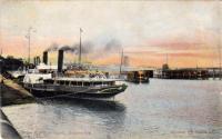
This pier was alongside, and to the south of, Burntisland [1st] station. It no longer exists but its former site can be estimated by looking south south east from Forth Place, the square in front of Burntisland station. From this pier the steamers to Granton Pier ran south, linking the Edinburgh and Northern Railway to the Edinburgh, Perth and Dundee Railway.
...
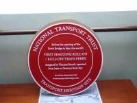
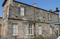
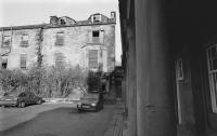
This was the southern terminus of the Edinburgh and Northern Railway. A Thomas Bouch designed train ferry operated from here to Granton. It was replaced by the present Burntisland station, a through station on the approach to the Forth Bridge, just to the north. The station building is a scheduled Ancient Monument.
...
John Yellowlees 16/12/2020
Mark Bartlett 07/08/2021
Bill Roberton //1990
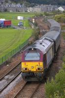
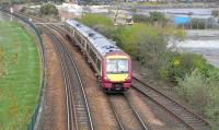
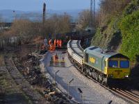
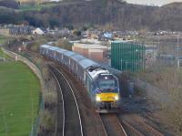
This junction was east of the 1847 Burntisland [1st] terminus and its 1890 replacement Burntisland.
...
Bill Roberton 13/08/2010
David Panton 18/04/2009
Bill Roberton 13/01/2019
Bill Roberton 05/04/2016
The works of the Edinburgh and Northern Railway were at Burntisland, a little east of Burntisland [1st], beyond the Lammerlaws bridge, and south of the line. The works were approached from the west. The site was dominated by the large sixteen road roundhouse, its entry arch being the shed's water tank. The roundhouse was topped with a large cone shaped roof.
...
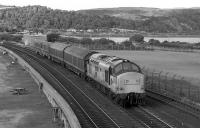
Bill Roberton //1990
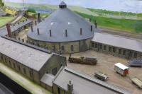
Bill Roberton 25/02/2023
This junction was east of Burntisland and Burntisland Junction. It opened in 1901 along with the associated Lammerlaws Yard and Burntisland East Dock.
...
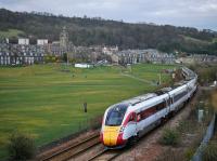
...
Bill Roberton 25/03/2021
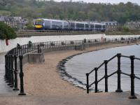
...
Bill Roberton 30/04/2022
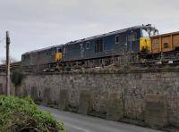
...
Bill Roberton 28/02/2021
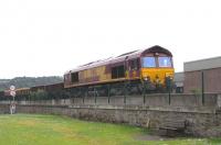
David Panton 14/06/2009
This tunnel is south west of Kinghorn station and 265 yards long. (Or 242 yards, sources vary.)
...
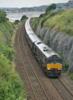
Bill Roberton 10/07/2023
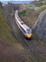
Bill Roberton 16/12/2019
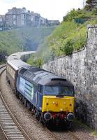
Bill Roberton 15/06/2013
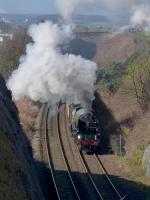
Bill Roberton 14/03/2019
This is a two platform station. The main station building is on the northbound platform. The station is in Kinghorn, just above Kinghorn Beach.
...
See also
Binnend Oilworks Railway
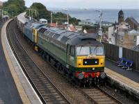
Bill Roberton 27/09/2021
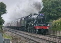
Bill Roberton 27/07/2023
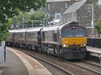
...
Bill Roberton 19/06/2023
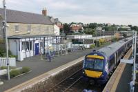
Mark Bartlett 05/08/2021
This is a double track four arch masonry viaduct north of Kinghorn station. The viaduct is 159 ft long overall and 42 ft high.
...
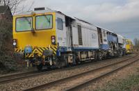
Bill Roberton 19/02/2023
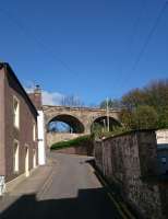
Alan Cormack 23/04/2017
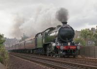
Bill Roberton /09/1994
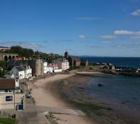
Alan Cormack 23/04/2017
This signal box opened with the junction for the new Seafield Colliery in 1963. The box was on the east side of the line. The colliery was also on the east side of the line and approached from the south.
...
This was the junction between the 1847 Edinburgh and Northern Railway and the Kirkcaldy District Railway (North British Railway) opened in 1896. Both lines were double track although the newer line became single track as it struck off west of the junction. Approach was from the south.
...
See also
Kirkcaldy District Railway (North British Railway)
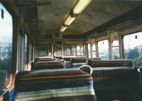
David Panton 18/07/1998
This double track eight arch (one 'blind') viaduct is south of Kirkcaldy station. It is north of the former Invertiel Junction. It is 429 ft long overall and 80 ft high.
...
This is a two platform station equipped with large carparks. The main station building is on the southbound platform. The station is on the west side of the town.
...
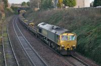
Bill Roberton 13/01/2024
Bill Roberton 27/07/2023
Bill Roberton 05/08/2021
John Yellowlees 03/10/2022
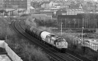
This junction was located at Rosebery Terrace with the main line of the Edinburgh and Northern Railway and the Kirkcaldy Harbour branch running parallel as far as Dunniker Road, the harbour line serving several works and making a second connection, before curving off to the south east down a steeply graded branch to the harbour.
...
Bill Roberton //1996
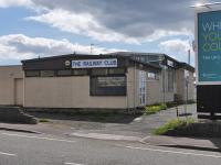
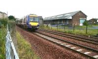
This was a three platform station to the west of St Clair Street. There were two main line platforms and a bay for trains to the west, on the south side.
...
Bill Roberton 22/05/2021
Bill Roberton 22/05/2021
John Furnevel 22/08/2008

John Yellowlees 23/04/2016
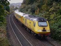
This station replaced Sinclairtown [1st] station, just to the west, in 1909.
...
...
Bill Roberton 13/10/2020
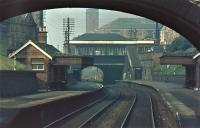
Brian Haslehust 04/09/1964
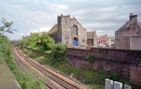
Ewan Crawford //1997
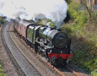
Bill Roberton 28/04/2012
This station was to the north of Windmill Road. It was a two platform station.
...
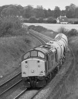
...
Bill Roberton //1999
...
Bill Roberton 20/08/2017
Bill Roberton //1992
Bill Roberton 20/08/2017
This was the junction for the Dysart Colliery Randolph Pit. The pit was sunk in the 1850s. The mineral line ran south east from a loop on the east side of the railway. A signal box was on the west side of the line.
...
This junction was created in 1878 when the North British Railway opened a curve between Thornton West Junction [1st] on the Dunfermline Branch (Edinburgh and Northern Railway) and the main line of the Edinburgh and Northern Railway.
...
See also
Dunfermline Branch (Edinburgh and Northern Railway)
This station was rebuilt several times due to subsidence. The original station opened to serve the Leven Railway. It was immediately south of Thornton North Junction, between the Burntisland to Ladybank line and the Dunfermline Branch (Edinburgh and Northern Railway). It was bypassed by the Dunfermline Branch (Edinburgh and Northern Railway) until later.
...
See also
Thornton Junction Station to Thornton West Curve (North British Railway)
Duncan Ross 24/07/2021
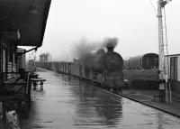
Robin McGregor 01/10/1965
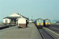
Brian Haslehust 04/09/1964
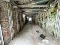
Duncan Ross 24/07/2021
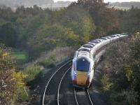
This is a four way junction. To the north the main line runs north to Ladybank and the line branch to Cameron Bridge and Levenmouth, which is being re-doubled and electrified, runs off to the north east.. (This formerly ran to Leven [2nd] and the Fife Coast railway to St Andrews [2nd].) To the south the Dunfermline Branch heads west from the main line which runs south to ...
More detailsSee also
Dunfermline Branch (Edinburgh and Northern Railway)
Leven Railway
Wemyss and Buckhaven Railway
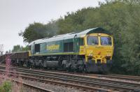
Bill Roberton 22/08/2022
...
Bill Roberton 26/10/2022
Bill Roberton 15/07/2023
...
Bill Roberton 01/06/2021
This signal box was on the northern approaches to Thornton North Junction.
...
See also
Leven Railway
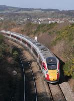
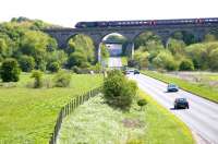
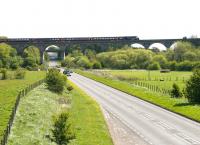
This double track ten arch viaduct is south of Markinch station. It is 528 ft long overall and 78 ft high.
...
...
Bill Roberton 10/02/2022
Brian Forbes 23/08/2008
John Furnevel 01/05/2005
John Furnevel 01/05/2005
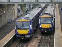
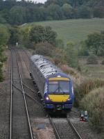
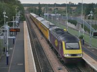
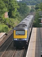
This is a two platform station with a car park on the west side. The original station building, by architect David Bell, sill stands, a three storey building with the top two floors at road level and ground floor at platform level. There were timber waiting rooms at platform level. A large retaining wall runs down the east side of the station.
...
See also
Leslie Railway
...
Bill Roberton 10/10/2023
...
Bill Roberton 10/10/2023
Bill Roberton 10/10/2023
...
Bill Roberton 12/07/2021
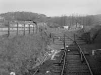
This coal depot siding was north of Markinch station, located on the west side and approached from the south.
...
Bill Roberton /05/1985
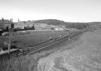
Bill Roberton //1975
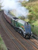
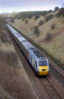
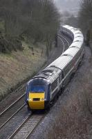
Lochmuir Summit was to the west of Lochmuir Wood. A signal box opened here in 1901 with a siding on the west side, approached from the south. The signal box was at the south end of the siding.
...
Bill Roberton 03/05/2014
Bill Roberton 12/03/2009
Bill Roberton 12/03/2009
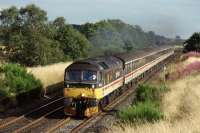
Graeme Blair 18/08/1990
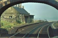
This was a two platform station. The main building building, on the northbound platform, survived into the 1980s.
...
Mark Bartlett 16/09/2021
Mark Bartlett 16/09/2021
Brian Haslehust 04/09/1964

Brian Forbes 18/07/2007
This was a two platform station with the northern part of the platforms partly over Station Road.
...
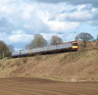
Brian Forbes 03/04/2011
Brian Forbes 13/04/2008
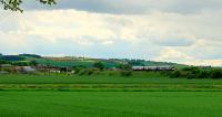
Brian Forbes 14/05/2007
This junction was south of Ladybank station on the west side of the line. Via a headshunt, approached from the north, the Fife and Kinross Railway could be reached and its bay platform on the west side of the station. Between the junction and the bay platform was a loop to allow the branch trains to run round. Malt Barns Siding was on the branch, approached by a headshunt. There were ...
More detailsSee also
Fife and Kinross Railway
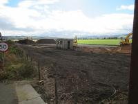
David Panton 03/10/2018
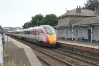
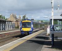
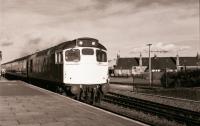
This is a two platform station with the main original station building on the northbound platform, architect probably David Bell. The building is a complicated structure with different numbers of storeys.
...
See also
Fife and Kinross Railway
Mark Bartlett 02/08/2021
David Panton 02/09/2020
Mark Bartlett 02/08/2022
...
Peter Todd 13/11/1981
This siding, west of Springfield, gave access to the Cults and Pitlessie Lime Works Railway which ran south. A pair of sidings made a trailing connection to the southbound line, these sidings were a headshunt for the branch. There was a short loop on the branch close to the connection. A signal box as located on the north side of the main line.
...
See also
Cults and Pitlessie Lime Works Railway
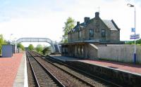
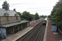
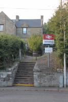
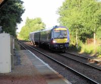
This is a two platform station. The building design is the smaller style of station on the former Edinburgh and Northern Railway by David Bell. The building is on the southbound platform.
...
John Furnevel 22/05/2005
Mark Bartlett 16/09/2021
Mark Bartlett 16/09/2021
David Panton 23/07/2019
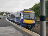
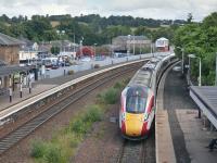
This is a two platform station dating from 1847. The architect of the main station building on the northbound platform is thought to be David Bell. The central portion is two storey with a double arched entry. To the sides are single storey wings which link to two storey blocks on either side. A flat roofed canopy runs the full length on the platform side. The building on the southbound ...
More details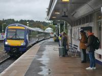
...
Bill Roberton 04/10/2022
...
Bill Roberton 04/10/2022
Bill Roberton 15/07/2023
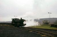
This signal box controlled access to the considerable sugar beet factory east of Cupar (and west of Dairsie).
...
John Clark /04/1971
This two platform station was some way to the south of Dairsie (also known as Osnaburgh) with the platforms partly crossing over the minor road between Dairsie and Kemback. A loading bank, served by a goods loop, was to the north of the station on the west side. The signal box was at the north end of the southbound platform.
...
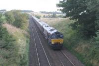
Mark Bartlett 24/08/2018
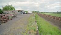
Ewan Crawford //1997
This junction was just south of Leuchars and faced that station. Originally the junction station was Leuchars [1st], somewhat further north. ...
More detailsSee also
St Andrews Railway
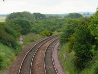
Brian Forbes 10/06/2007
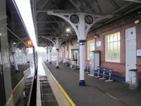
This is an island platform station which today is the closest to St Andrews. There is a car park on the east side of the station.
...
See also
Tay Bridge and Associated Lines (North British Railway)
St Andrews Railway
...
ScotRail /11/2019
David Bosher 22/07/2017
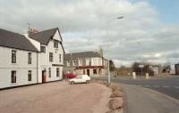
This was a four platform station. A bay existed on either side for the [St Andrews Railway] branch. To the south of the station was a small yard on the west side of the line. The main station building was on the southbound platform.
...
See also
St Andrews Railway
Ewan Crawford //1996
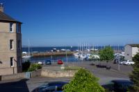
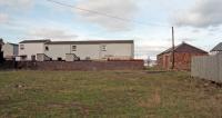
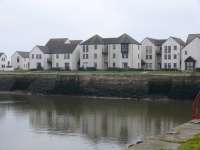
This siding was located between Leuchars (Old) and Tayport. The siding was located on the double track line between those two stations. Access to the siding was by reversal from the southbound line.
...
...
Gary Straiton 08/08/2018
David Panton 12/09/1960
Ewan Crawford //1996
Brian Forbes /03/2007
Ladybank to Perth
This is a two platform station with the main original station building on the northbound platform, architect probably David Bell. The building is a complicated structure with different numbers of storeys.
...
See also
Fife and Kinross Railway

Mark Bartlett 02/08/2021

David Panton 02/09/2020

Mark Bartlett 02/08/2022

...
Peter Todd 13/11/1981
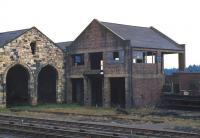
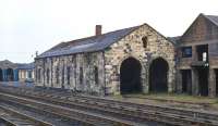
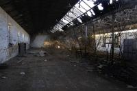
Aligned with the Perth route were two buildings, Ladybank Works and locomotive shed, both on the east side of the line. The works building still stands and is an excellent early survivor.
...
Bill Jamieson 03/03/1971
Bill Jamieson 03/03/1971
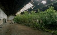
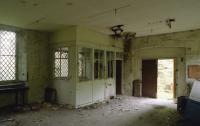
Aligned with the Perth route were two buildings, a works building and locomotive shed, both on the east side of the line. The works building still stood, out of use since 1973, until its roof collapsed (around 2011?). It was demolished around 2014. It was an excellent early survivor.
...
Bill Roberton //2008
Bill Roberton //2002
Bill Roberton //2002
Bill Roberton //2002
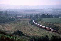
This was a two platform station with a bay (the goods siding) on the northbound platform at the north end. Opposite this was a signal box. The north end was built over a road bridge. The box was to close in 1934 when the line was singled.
...
Graeme Blair 19/09/1998
Brian Forbes /06/2010
Brian Forbes 26/04/2007
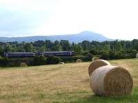
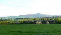
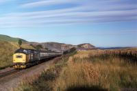
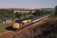
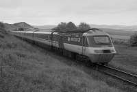
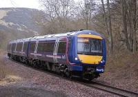
This was a temporary terminus of the line from Ladybank before it was extended west ultimately to Hilton Junction.
...
Graeme Blair 29/07/1990
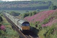
The Edinburgh and Northern Railway, a double track line, was met by the single track Newburgh and North Fife Railway. The St Fort line doubled before joining and had a looped refuge siding.
...
See also
Newburgh and North Fife Railway
Graeme Blair 13/09/1986
Graeme Blair 02/09/1994
Bill Roberton //1988
Bill Roberton 20/02/2009
This was a short lived terminus before the line from Ladybank was extended west to Abernethy Road.
...
See also
Newburgh and North Fife Railway
Kirkcaldy Harbour Branch
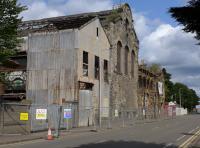
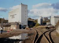
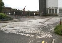
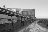
This junction was located at Rosebery Terrace with the main line of the Edinburgh and Northern Railway and the Kirkcaldy Harbour branch running parallel as far as Dunniker Road, the harbour line serving several works and making a second connection, before curving off to the south east down a steeply graded branch to the harbour.
...
Bill Roberton 25/08/2018
Bill Roberton //1981
John Furnevel 22/07/2007
Bill Roberton /02/1991
Burntisland West Dock
This junction was east of the 1847 Burntisland [1st] terminus and its 1890 replacement Burntisland.
...

Bill Roberton 13/08/2010

David Panton 18/04/2009

Bill Roberton 13/01/2019

Bill Roberton 05/04/2016
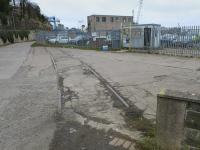
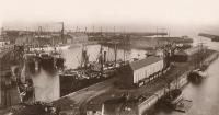
This dock is in Burntisland Harbour. There is a dock gate. Burntisland Shipyard, to the west, remains open.
...
...
Bill Roberton 28/02/2023
Ewan Crawford Collection //
Burntisland East Dock
This junction was east of Burntisland and Burntisland Junction. It opened in 1901 along with the associated Lammerlaws Yard and Burntisland East Dock.
...

...
Bill Roberton 25/03/2021

...
Bill Roberton 30/04/2022

...
Bill Roberton 28/02/2021

David Panton 14/06/2009
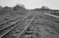
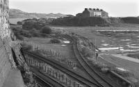
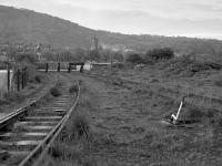
This yard was approached from the east at Burntisland East Junction and was divided into a portion for the north side of Burntisland East Dock and south side portion.
...
...
Bill Roberton //2005
Bill Roberton //1990
...
Bill Roberton //1987
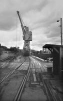
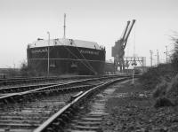
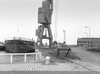
This is the larger dock at the harbour of Burntisland. There is a dock gate at the west end. This dock was formerly associate with the shipping of coal from the extensive Fife coal field's mines.
...
Bill Roberton //1975
Bill Roberton //1986
Bill Roberton //1986
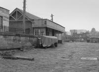
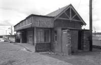
This pier opened in 1901 to replace the Burntisland Albert Pier which was removed during the construction of the Burntisland East Dock.
...
Bill Roberton //1983
Ewan Crawford Collection //
Bill Roberton //1973
Books


