Edinburgh and Dalkeith Railway
Introduction
Portions of this line remain open between Duddingston and Millerhill and between Leith and Portobello. The line was known as the 'Innocent Railway'. Various explanations for this exist, perhaps the most likely is that it was an early railway and run on an ad hoc basis, the company and operators making up rules and procedures as they went along. It was built to convey domestic coal into Edinburgh, horses drawing the wagons. The Borders Railway (Network Rail) has re-opened a further portion between Sherriffhall and Dalhousie. The portion of the line still in use is supported and promoted by the Borders Railway Community Rail Partnership .
Why built
This line was built to convey coal from pits and existing waggonways around Dalkeith to Edinburgh. In addition there were branches to the port of Leith and harbour at Fisherrow. The four routes met at Niddrie. The Fisherrow branch opened with the main line and was probably for importing fish and exporting excess coal production. Leith is much lower than Edinburgh and this provided a more gentle approach to the sea. Fisherrow was no doubt inadequate and exporting coal required train reversals and before long the Leith branch was conceived.
Service
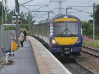
Until 2002 the remaining portion of the line was used by freight only to access Millerhill Marshalling Yard. From 2002 the portion between Niddrie South Junction and a new station and turnback siding at Newcraighall carried a passenger service from Edinburgh Waverley via Portobello and Brunstane.
In 2015 the Borders Railway (Network Rail) (the northern part of the former Waverley Route) opened to carry carried passenger trains from Newcraighall via a new portion of line to Sherrifhall [2nd] where the original trackbed was reached, the line continuing south to Galashiels and Tweedbank.
The new Millerhill Deviation (Network Rail) runs between Newcraighall and Sherrifhall [2nd] using an alignment further west as the route via the Millerhill Marshalling Yard will not be reinstated. The construction of the Edinburgh City Bypass on the level via a long oblique over the solum of the closed line precluded this. The road was relocated to allow a new bridge to be built for the diversion and the bypass relocated onto the new bridge.
The branch to Leith South Yard is open to freight, used until 2013 for conveying imported coal from the docks for use at Cockenzie Power Station. There is currently (2020) no traffic.
Dates
Route described
The main line, a double track, ran from Edinburgh St Leonards through a tunnel and along an incline and then east to Niddrie and then south through Eskbank (near Dalkeith) to South Esk.
There were branches to Leith and Fisherrow from Niddrie.
Stations were located at the termini and at Niddrie. Locations where passengers could be picked up or dropped were located elsewhere.
Portions of line and locations
This line is divided into a number of portions.
Edinburgh to South Esk
Double track throughout.
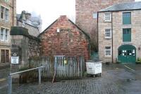
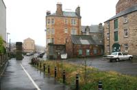
A notable early passenger, goods and minerals terminus in Edinburgh - Edinburgh's first station and was located to the south east of the Old Town. The station was probably not called St Leonards in the early days, it would be the Edinburgh terminus of the Edinburgh and Dalkeith Railway. At first trains were horse drawn. The primary purpose was to bring coal to Edinburgh from pits to the south ...
More details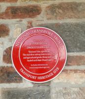
...
John Yellowlees 12/07/2021

John Yellowlees 26/11/2021
John Furnevel 01/01/2008
John Furnevel 01/01/2008
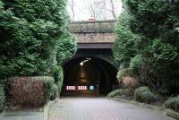
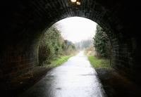
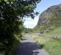
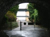
This disused single bore and single track tunnel runs from the bonded warehousing at the east end of the St Leonards station site east to 'Samson's Ribs', a rock feature on the south side of Arthur' Seat. The tunnel is 572 yards long.
...
John Furnevel 02/01/2008
John Furnevel 02/01/2008
David Panton 02/07/2019
John Furnevel 02/01/2008
Just west of the former Cairntows Level Crossing the closed line to St Leonards crosses the Braid Burn by a single span cast iron bridge. The bridge, cast at the Shotts Iron Works is 'B' listed.
...
See also
Shotts Iron Co
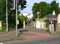
This level crossing was named for a farm formerly to the south of the level crossing.
...
John Furnevel 06/08/2017
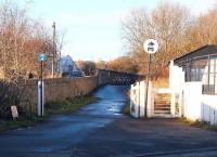
John Furnevel 10/11/2004
This junction was directly east of Duddingston station. It was formed in 1884 between the 1831 Edinburgh and Dalkeith Railway and the Edinburgh, Suburban and Southside Junction Railway.
...
See also
Edinburgh, Suburban and Southside Junction Railway
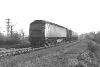
...
Bill Jamieson 04/02/1970
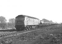
...
Bill Jamieson 04/02/1970
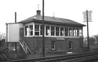
...
Bill Jamieson //1969
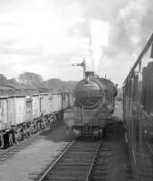
R Sillitto/A Renfrew Collection (Courtesy Bruce McCartney) 25/08/1962
This is a location identified as a possible location for the E&DR's Niddrie station. It is unlikely as this was not at the point of divergence of the South Esk and Fisherrow lines, not shown on the NBR prospectus map and west of the point of divergence of the Leith line, opened one year after the station (thus not served by the Leith branch which would have been wasteful).
...
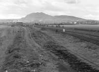
Bill Roberton 09/04/1982
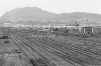
Bill Roberton //1974
This location has been identified as a possible location of the E&DR's Niddrie station. It was immediately east of the point of divergence between the lines to St Leonards and Leith.
...
This junction is between the single track line from Portobello East Junction and the double track from Niddrie South Junction. The line runs west to Craiglockhart Junction round the Edinburgh Suburban line (the former Edinburgh, Suburban and Southside Junction Railway).
...
See also
Edinburgh, Suburban and Southside Junction Railway
Lothian Lines (North British Railway)
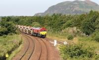
John Furnevel 01/07/2018
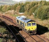
John Furnevel 15/10/2017
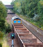
John Furnevel 10/09/2017
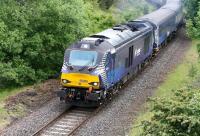
John Furnevel 11/08/2019
This junction is in the south east of Edinburgh. It controls the junction between the Edinburgh Waverley to Tweedbank line and the goods only line from Slateford and Haymarket. It is a busy location with freight, passenger trains and depot traffic, made difficult by the single track line north to Portobello.
...
See also
Edinburgh and Hawick Railway (North British Railway)
Millerhill Marshalling Yard (British Railways)
Lothian Lines (North British Railway)
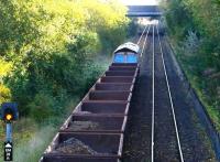
John Furnevel 15/10/2017
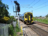
David Panton 05/06/2018
John Furnevel 09/08/2013
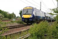
John Furnevel 10/06/2018
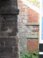
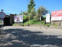
This was the third station at Niddrie immediately south of Niddrie South Junction, on approximately the same site as Newcraighall station. A station building - a goods station after closure to passengers - was on the north side of Whitehill Road. The southern elevation of this still exists, incorporated into the bridge abutment retaining wall.
...
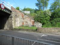
David Panton 22/05/2021
David Panton 17/09/2019
David Panton 05/06/2018
This is a single platform station located between Niddrie South Junction and Newcraighall North Junction where the Millerhill Deviation (Network Rail) leaves the alignment of the original Waverley Route.
...
See also
Borders Railway (Network Rail)
Bill Roberton 06/07/2023
John Furnevel 08/10/2007
John Furnevel 13/02/2002
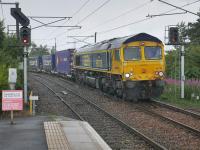
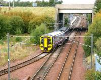
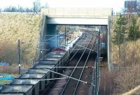
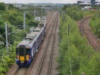
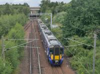
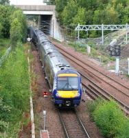
This is where the Borders Railway joins the alignment of the former Edinburgh and Dalkeith Railway, today the lines serving Millerhill EGIP Depot and the goods loop serving the remains of Millerhill Marshalling Yard off the East Coast Main Line.
...
Bill Roberton 06/07/2023
Bill Roberton 06/07/2023
John Furnevel 24/09/2017
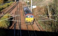
John Furnevel 05/11/2002
This new EMU Depot for EGIP was built on the site of the Millerhill Yard Up Sorting Sidings.
...
See also
Millerhill EMU Depot (Network Rail)
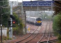
John Furnevel 22/09/2019
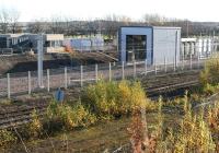
John Furnevel 12/11/2017
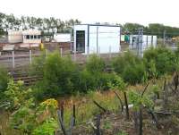
John Furnevel 06/08/2017
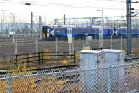
John Furnevel 11/11/2018
This is the junction between the Newcraighall North Junction to Monktonhall Junction route through the former Millerhill Yard and the Millerhill EGIP Depot, built partly on the site of the Millerhill MPD and the Millerhill Yard Up Sorting Sidings.
...
See also
Millerhill Marshalling Yard (British Railways)
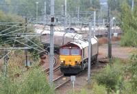
John Furnevel 08/10/2007
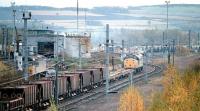
John Furnevel 16/07/1997
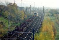
John Furnevel 15/10/1996
John Furnevel 22/01/2017
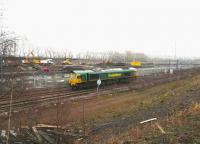
Note the spelling Cairnie as per the nearby farm and cottages. This station was probably located either at Cairnie Cottage or near Adamsrow, a location now lost after the development of the Millerhill Marshalling Yard (British Railways).
...
The exact location of this short lived station is uncertain, being more a stopping place than a station. It was located on the original alignment of the Edinburgh and Dalkeith Railway probably to the north of the A6106 overbridge.
...
John Furnevel 22/02/2014
Ewan Crawford 22/02/2014
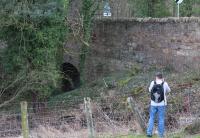
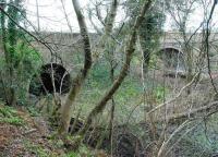
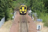
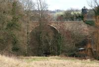
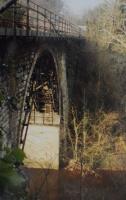
This viaduct is also known as the North Esk Viaduct. It is a particularly attractive single arch bridge crossing the River North Esk at a height of 60 ft. The bridge dates from 1831 and currently carries a railway, formerly the Waverley Route which closed in 1969 as a through route and re-opened as the Borders Railway in 2015.
...
John Furnevel 06/07/2017
John Furnevel 15/08/2019
John Furnevel 22/02/2014
Charlie Niven //1990
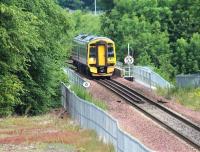
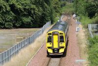
This was the junction between the Edinburgh and Dalkeith Railway's line from Edinburgh to South Esk and its short branch to Dalkeith. The junction was immediately to the south of Glenesk Viaduct and north of the short lived Glenesk station. The E&D later became the northern portion of the Waverley Route.
...
John Furnevel 15/08/2019
John Furnevel 26/02/2014
John Furnevel 06/07/2017
John Furnevel 06/07/2017
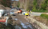
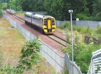
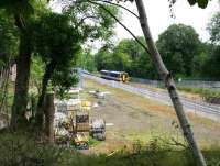
This short lived station was north of Eskbank and Dalkeith station and south of Glenesk Junction and the Glenesk Viaduct. The Glenesk Colliery was alongside the railway to the west. ...
More details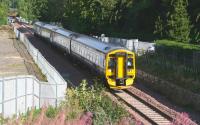
John Furnevel 10/09/2015
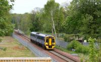
John Furnevel 05/05/2019
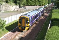
John Furnevel 22/05/2016
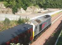
John Furnevel 10/09/2015
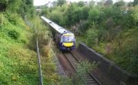
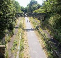
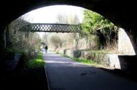
This was a two platform station. The street level building, still standing, is a two storey sandstone building with Tudor styling. The rear of this building had a canopy and steps descended to the platforms and footbridge.
...
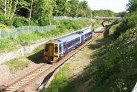
John Furnevel 22/05/2016
John Furnevel 25/08/2022
John Furnevel 19/07/2002
John Furnevel 16/04/2010
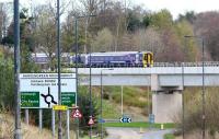
This was the junction between the re-gauged Edinburgh and Dalkeith Railway and the Peebles Railway. Hardengreen Yard was developed here and the Dalkeith Branch (North British Railway) later also reached this location.
...
See also
Peebles Railway
Dalkeith Branch (North British Railway)
John Furnevel 04/08/2018
John Furnevel 06/04/2017
Ewan Crawford 20/04/1997
John Furnevel 20/03/2016
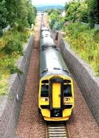
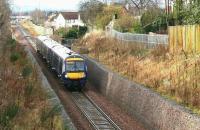
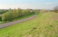
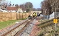
This yard was developed at Hardengreen Junction. The yard consisted of a number of sidings on either side of the Waverley Route, just south of Hardengreen Junction and a number of sidings on the east side, approached from the south.
...

David Panton 28/07/2019
John Furnevel 13/05/2018
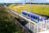
John Furnevel 14/09/2017
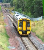
John Furnevel 14/08/2016
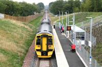
John Furnevel 08/09/2015
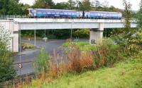
John Furnevel 01/10/2020
John Furnevel 16/10/2015
John Furnevel 11/08/2022
John Furnevel 25/08/2022
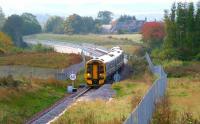
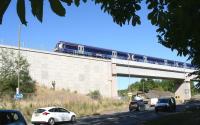
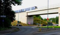
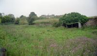
This was the southern terminus of the main line of the Edinburgh and Dalkeith Railway. It was specifically built to be close to the coalfield north of Gorebridge to bring coal to Edinburgh. An older spelling is 'South Eske'.
...
See also
Marquis of Lothian^s Waggonway
Ewan Crawford //2002
Fisherrow Branch
Single track.
This was the first station at Niddrie, opened by the E&DR at the point of divergence of the lines to Fisherrow and South Esk one year before the opening of the South Leith branch. This location is marked on OS maps as having a 'Branch House' immediately to the south of the running lines. The station is likely to have been an interchange pausing point and probably did not serve the ...
More detailsSee also
Millerhill Marshalling Yard (British Railways)
This was the junction between the 1831 Fisherrow branch of the Edinburgh and Dalkeith Railway and the 1847 Musselburgh Branch (North British Railway).
...
See also
Musselburgh Branch (North British Railway)
Fisherrow is a small tidal harbour on the west bank of the River Esk. The present stone harbour dates from the 17th century with modifications for waggonways. The town itself sits between the harbour and the river, on the east bank of which is Musselburgh. As the name suggest, fishing fleets were based here.
...
Leith Branch
This was built as a single track. It was later doubled but reverted again to a single line as traffic fell off. It was a later addition which did not open with the E&DR, but shortly afterwards.
This location has been identified as a possible location of the E&DR's Niddrie station. It was immediately east of the point of divergence between the lines to St Leonards and Leith.
...
Bill Roberton 24/11/2015
David Panton 30/10/2010
David Panton 30/10/2010
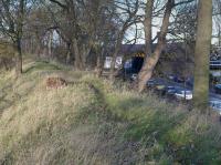
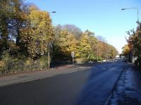
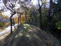
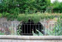
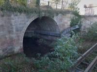
This disused single arch stone viaduct over the Figgate Burn carried the original course of the Edinburgh and Dalkeith Railway over the Figgate Burn between Portobello [1st] (to the south) and the later site of King's Road Junction (to the north). The short portion of line crossing the bridge was abandoned in 1859 when a curve opened from the North British Railway main line.
...
John Furnevel 07/09/2016
Bill Roberton 24/11/2015
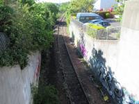
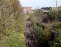
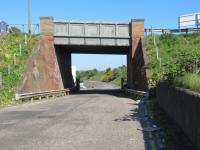
This junction and box were on the Edinburgh and Dalkeith Railway's South Leith branch. The box opened with the development of the Lothian Lines (North British Railway).
...
See also
Lothian Lines (North British Railway)
David Panton 14/05/2020
David Panton 14/04/2020
David Panton 07/05/2020
In 1916 the Lothian Lines (North British Railway) opened here.
...
See also
Lothian Lines (North British Railway)
John Yellowlees 21/07/2023
David Panton 18/06/2020
David Panton 07/05/2020
David Panton 12/02/2018
This box was located on the west side of Seafield Road Level Crossing (then called Seafield Crossing), on the north side of the line and backing onto the beach.
...
Seafield Junction was at the Marine Esplanade Level Crossing (now called Seafield Level Crossing).
...
See also
Lothian Lines (North British Railway)
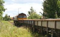
John Furnevel 09/07/2007
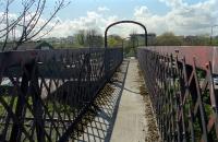
Ewan Crawford //1999
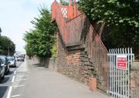
John Furnevel 05/08/2014
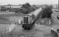
Bill Roberton //2001
This goods depot was opened immediately to the east of South Leith station. It allowed the goods station at the station to become a coal depot. It opened around 1881, along with the Leith Edinburgh Dock.
...
David Panton 18/04/1995
Jim Peebles //
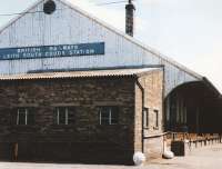
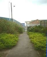
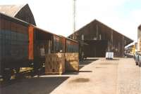
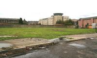
This was a terminus of a branch from Niddrie [1st] opened on the shoreline at Leith, just east of the Water of Leith in 1835 (the land on the east bank is South Leith). Passenger coaches ran here from 1838. This largely forgotten station is important in the history of the expansion and development of Leith and its docks. Known as simply 'Leith' until 1868 when it first appeared as 'South' in ...
More details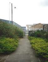
David Panton /04/1995
John Furnevel 12/09/2006
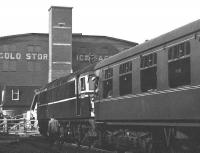
Bruce McCartney 27/03/1967
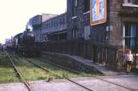
Frank Spaven Collection (Courtesy David Spaven) 25/08/1962
Dalkeith Branch
This was the junction between the Edinburgh and Dalkeith Railway's line from Edinburgh to South Esk and its short branch to Dalkeith. The junction was immediately to the south of Glenesk Viaduct and north of the short lived Glenesk station. The E&D later became the northern portion of the Waverley Route.
...

John Furnevel 15/08/2019

John Furnevel 26/02/2014

John Furnevel 06/07/2017

John Furnevel 06/07/2017
This was a single platform terminus at the end of a short branch from Glenesk Junction. There was a goods yard to the north of the station site.
...
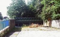
John Furnevel 18/06/2012
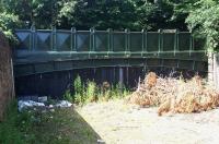
John Furnevel 25/07/2012
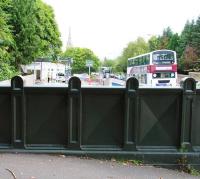
John Furnevel 25/07/2012
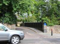
John Furnevel 28/08/2013
Books


