Edinburgh and Hawick Railway (North British Railway)
Introduction
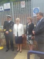
This railway has largely re-opened as the Borders Railway (Network Rail).
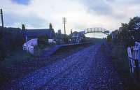
The line was an integral part of the former Waverley Route from Edinburgh to Carlisle via Galashiels and Hawick.
Originally to be built by the Edinburgh and Hawick Railway Company, the company was bought by the North British Railway before construction began and was opened as the larger company's Hawick Branch.
The line closed in 1969.
It re-opened in 2015 from Sheriffhall south to Galashiels and Tweedbank on the 6th of September.
The northern portion from Portobello East Junction to Niddrie South Junction never closed and Brunstane station opened in 2002. Newcraighall opened on a portion of the Edinburgh and Dalkeith Railway at the same time. From Newcraighall a new line, the Millerhill Deviation (Network Rail) takes the line south to Sheriffhall via a new station at Shawfair.
The line is supported and promoted by the Borders Railway Community Rail Partnership .
Why built
This line was built to carry passengers, goods and livestock from the border towns of Hawick, Newtown St Boswells, Galashiels and the surrounding area to Edinburgh.
The re-opened line carries a passenger service from Tweedbank via Galashiels, where there is a transport interchange, north to Edinburgh.
Service
The re-opened line carries passengers from Tweedbank and Galashiels to Edinburgh Waverley.
Dates
Route described
The original line ran south from Dalhousie to Gorebridge, Galashiels, Newtown St Boswells and Hawick. As built the line was double track and the northern approach, via the Edinburgh and Dalkeith Railway, was re-gauged and partly re-aligned. A short section was also opened from Portobello East Junction to Niddrie South Junction upon which the 2002 Brunstane station opened, whereas Newcraighall is on the older Edinburgh and Dalkeith Railway.
Portions of line and locations
This line is divided into a number of portions.
Portobello to Niddrie
This portion opened from Portobello East Junction to Niddrie South Junction and gave new, more suitable, access from the west to the existing Edinburgh and Dalkeith Railway from the main line of the North British Railway.
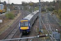
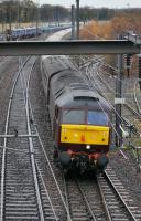
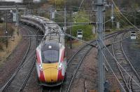
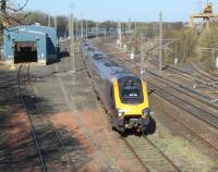
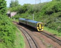
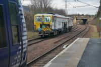
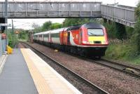
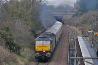
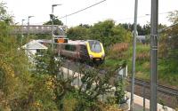
This junction is open. The double track East Coast Main Line from Berwick-Upon-Tweed meets the single track line from Tweedbank and passenger trains run west to Edinburgh Waverley.
...
See also
North British Railway
New Portobello Station (North British Railway)
Portobello Yard (North British Railway)
...
Bill Roberton 02/12/2022
Bill Roberton 02/12/2022
...
Bill Roberton 02/12/2022
David Panton 15/04/2021
David Panton 17/05/2018
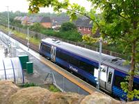
This is a single platform station. The platform was erected on the former eastbound line between Portobello East Junction (to the north west) and Niddrie North Junction (to the south).
...
See also
Borders Railway (Network Rail)
...
Bill Roberton 29/11/2023
John Furnevel 15/09/2019
Bill Roberton 29/11/2023
John Furnevel 15/09/2019
This was the junction between the North British Railway's line from Portobello East Junction to Niddrie South Junction and an isolated curve of the Edinburgh, Suburban and Southside Junction Railway from Niddrie West Junction which enabled trains from the southside line to approach Edinburgh Waverley from the east, thus completing a circle line and provide a route for goods ...
More detailsSee also
Edinburgh, Suburban and Southside Junction Railway
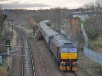
Bill Roberton 29/11/2023
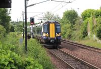
John Furnevel 08/07/2018
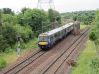
David Panton 13/07/2018
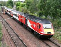
John Furnevel 15/09/2019
This was the second Niddrie station, shown on contemporary OS maps as Niddry Junction.
...
This junction is in the south east of Edinburgh. It controls the junction between the Edinburgh Waverley to Tweedbank line and the goods only line from Slateford and Haymarket. It is a busy location with freight, passenger trains and depot traffic, made difficult by the single track line north to Portobello.
...
See also
Edinburgh and Dalkeith Railway
Millerhill Marshalling Yard (British Railways)
Lothian Lines (North British Railway)
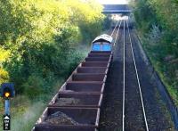
John Furnevel 15/10/2017
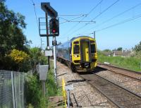
David Panton 05/06/2018
John Furnevel 09/08/2013
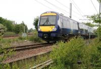
John Furnevel 10/06/2018
Millerhill to Sherriffhall
The Edinburgh and Dalkeith Railway was re-aligned from just north of Cairney south to Millerhill and regained the old alignment just south of Sherriffhall [2nd] .
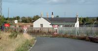
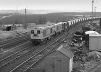
This was a two platform station just north of the 1874 Millerhill Junction for the Edinburgh, Loanhead and Roslin Railway. It was built on the new alignment of the Edinburgh and Hawick Railway (North British Railway) which replaced the Edinburgh and Dalkeith Railway's original alignment.
...
Ewan Crawford //1995
Bill Roberton //1981

...
Crinan Dunbar //1988
John Furnevel 18/08/2022
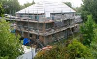
This location is out of use. The junction was immediately south of Millerhill station (1849). It was the junction between the Edinburgh and Hawick Railway (North British Railway) of 1847 and the Edinburgh, Loanhead and Roslin Railway of 1874. (The 1831 Edinburgh and Dalkeith Railway alignment was off to the west.)
...
See also
Edinburgh, Loanhead and Roslin Railway
Millerhill Marshalling Yard (British Railways)
John Clark /04/1969
...
Bill Roberton //1990
David Panton 25/05/1995
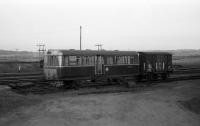
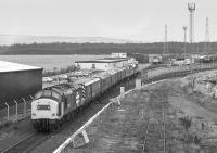
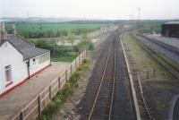
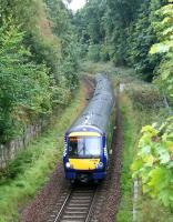
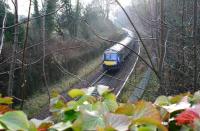
This short lived station replaced Sheriffhall [1st]. It was probably located to the south side of the A6106 overbridge and opened with the Edinburgh and Hawick Railway (North British Railway).
...
See also
Millerhill Deviation (Network Rail)
John Furnevel 11/09/2022
John Furnevel 24/11/2019
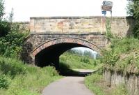
John Furnevel 25/07/2012
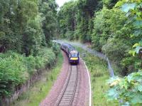
John Furnevel 18/05/2017
Dalhousie to Hawick
The bulk of the line ran from just north of the South Esk terminus south to Hawick [1st].
This intermediary two platform station replaced the South Esk terminus of the Edinburgh and Dalkeith Railway when it was realigned and re-gauged as a railway.
...
This is a double track twenty three arch viaduct over the River South Esk. The height over the South Esk is 80ft and the viaduct is around 1093 ft long. The southernmost arch is skew and crosses the A7. A minor road crossed under the second arch from the north end and the River South Esk passes under the third and forth arches. Alternative names include Lothianbridge, Dalhouse and South Esk ...
More details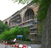
John Furnevel 07/09/2014
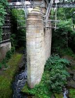
John Furnevel 10/08/2014
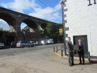
John Yellowlees 06/09/2018
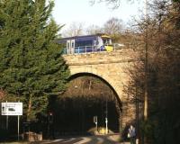
John Furnevel 02/01/2019
This siding was at the south east end of the Newbattle Viaduct. It connected the new Edinburgh and Hawick Railway (North British Railway) to the former Marquis of Lothian's Waggonway at the south east end of the original Newbattle Viaduct [1st]. The bridge was removed but its approach was now used as a reversal to access the line east to Bryans Pit and other mines.
...
See also
Newbattle Collieries Railway (Lothian Coal Co Ltd)
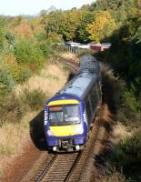
John Furnevel 13/10/2022
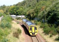
John Furnevel 17/09/2020
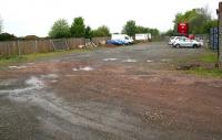
John Furnevel 13/05/2021
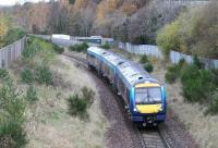
John Furnevel 10/11/2019
This signal box was at the south end of the Newbattle Viaduct it controlled entry to West Bryans Siding and the mineral lines to Bryans Pit etc. (See the West Bryans Siding entry.)
...
See also
Newbattle Collieries Railway (Lothian Coal Co Ltd)
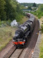
Bill Roberton 04/08/2019
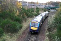
John Furnevel 10/11/2019
John Furnevel 29/02/2016
John Furnevel 11/01/2015
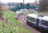
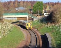
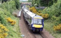
This was a two platform station located in a shallow cutting opened in 1908. It was north of the present Newtongrange station and south of the Newbattle Viaduct. It replaced Dalhousie station which was located to the north of the viaduct. The relocation was due to the expanding mining village at Newtongrange and the inconvenience of the original Dalhousie terminus of the ...
More details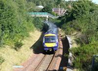
John Furnevel 30/08/2020
John Furnevel 22/05/2022
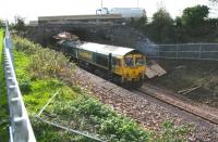
John Furnevel 25/10/2014
John Yellowlees 07/05/2019
This is a single platform station to the south of the original Newtongrange [1st] station.
...
See also
Borders Railway (Network Rail)
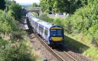
John Furnevel 30/08/2020
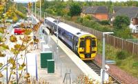
John Furnevel 04/10/2018
John Furnevel 20/09/2020
John Furnevel 01/04/2021
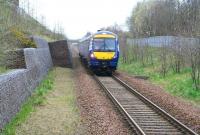
This was a rail served coal depot. It was originally a loading point for coal from opencast (or non rail served mines). The site covered a large area on the west side of the Waverley Route just south of Newtongrange [1st] station. The Lady Victoria Pit was located just over the Waverley Route on its east side. Also known as Butlerfield. The Industrial Railway Society lists the location as ...
More details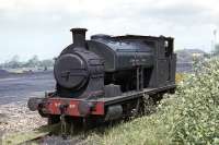
Bill Jamieson 25/05/1971
Lady Victoria Colliery was served by a large yard and sidings warranting their own signal box. A major expansion of the Newbattle Colliery led to a new connection and exchange sidings being laid out on the east side of the Waverley Route. The whole scheme was built on a grand scale and included the new village of Newtongrange, to the north. The pit was named for Lady Victoria Alexandrina, ...
More detailsSee also
Lady Victoria Colliery (Lothian Coal Co Ltd)
Lothian Lines (North British Railway)
John Furnevel 16/08/2020
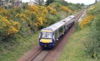
John Furnevel 22/05/2022
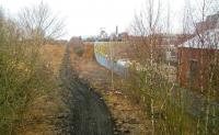
John Furnevel 29/03/2007
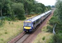
These catchpoints were north west of the connection between the mineral line serving the Arniston Colliery Gore Pit and the main line Edinburgh and Hawick Railway (North British Railway) ('Waverley Route'). The line going north ran downhill and these catchpoints protected the railway from runaways from the collieries.
...
See also
Arniston Coal Company
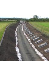
David Spaven 15/07/2014
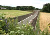
John Furnevel 06/07/2014
John Yellowlees 15/07/2014
Bill Roberton 03/11/2014
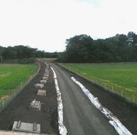
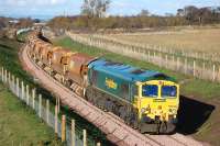
This concrete viaduct crosses the A7 on an oblique not far west of Gorebridge station.
...
John Furnevel 30/08/2015
John Furnevel 04/08/2018
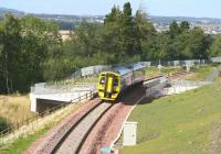
John Furnevel 25/09/2015
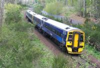
John Furnevel 09/06/2022
This pit was sunk by the Arniston Coal Company. It was close to the Waverley Route, just east of Gorebridge station. ...
More detailsSee also
Arniston Coal Company
John Furnevel 10/04/2016
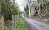
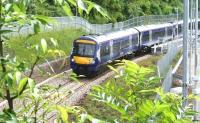
This is a single platform station on the Borders Railway. The original two storey station building remains standing. The platform occupies roughly the location of the original northbound platform. A similar building remains at Fountainhall.
...
See also
Borders Railway (Network Rail)
John Furnevel 09/06/2015

John Furnevel 20/09/2020
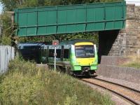
John Furnevel 06/09/2015
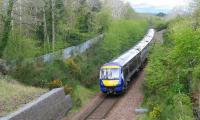
John Furnevel 01/05/2022
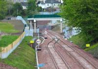
This 'junction' is the northern end of the Fushiebridge - Tynehead loop. It is located roughly on the site of a tunnel, just south of Gorebridge station which was opened out. It is not a true junction - there is only one railway here.
...
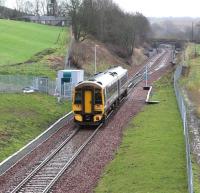
John Furnevel 09/02/2016
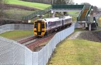
John Furnevel 09/02/2016
John Furnevel 29/05/2015
John Furnevel 09/02/2016
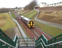
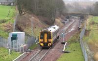
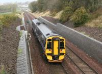
This was a two platform station. No new station has been provided here with re-opening of the line. The nearest station is Gorebridge. Stow is the next on the route south, formerly Tynehead was the next south.
...
John Furnevel 30/07/2015
John Furnevel 19/05/2022
John Furnevel 09/02/2016
John Furnevel 21/10/2018
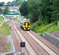
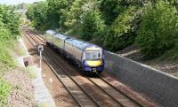
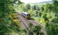
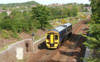
The first station site at Fushiebridge was slightly cramped and located to the south of the road bridge. This was later the site of the goods yard only.
...
John Furnevel 19/05/2022
John Furnevel 19/05/2022
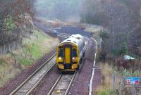
John Furnevel 08/12/2018
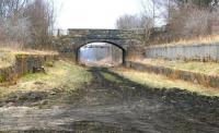
John Furnevel 10/05/2013
This signal box broke the section between Fushiebridge [1st] station and Tynehead station. The box was located on the Borthwick Bank, on the south side of the line, north east of Borthwick Castle .
...
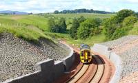
John Furnevel 21/06/2018
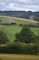
...
Bill Roberton 06/08/2017
John Furnevel 13/03/2014
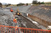
This former freestone quarry and gravel pit became an ash dump for St Margarets Shed. Sidings, which were moved as required, ran out to the north from Borthwick Bank Signal Box, reached by a headshunt which made a trailing connection east of the box. Material was dumped into Birky Side / Maggie Bowie's Glen - the define of the Tyne Water.
...
Mark Poustie 05/05/2008
Mark Poustie 05/05/2008
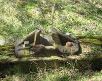
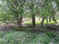
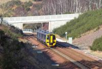
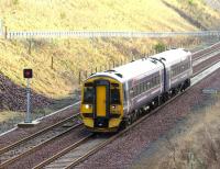
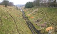
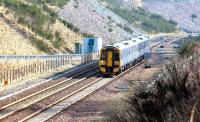
This was a two platform station located in a deep cutting. The street level building remains here, in use as a house.
...
John Furnevel 02/07/2015
John Furnevel 24/02/2018
John Furnevel 27/12/2016
John Furnevel 12/04/2013
John Furnevel 24/02/2018
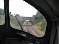
David Spaven 05/08/2018
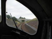
David Spaven 05/08/2018
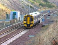
John Furnevel 27/12/2016
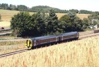
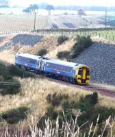
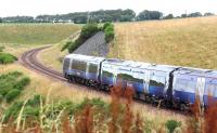
This is a summit of 880 ft. A weigh station was opened at Falahill with the line. Banking to Falahill Summit was common. The location had up and down loops and sidings. There was a water tank and signal box, dating from 1894, on the east side.
...
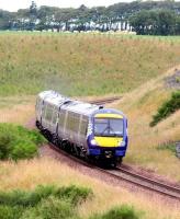
John Furnevel 21/07/2022
John Furnevel 17/08/2016
John Furnevel 08/11/2018
John Furnevel 21/07/2022
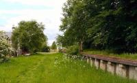
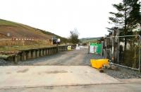
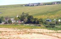
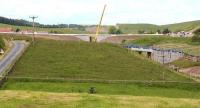
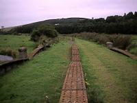
This was a two platform station with staggered platforms, one on either side of a level crossing.
...
John Furnevel 18/05/2008
John Furnevel 13/04/2014
John Furnevel 19/06/2013
John Furnevel 30/06/2014
Ewan Crawford 25/08/2002
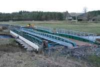
Ewan Crawford 03/03/2014
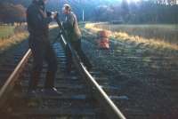
David Spaven /01/1972
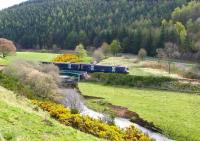
John Furnevel 25/04/2019
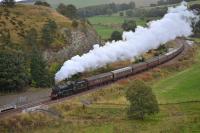
Bill Roberton 09/10/2016
John Furnevel 30/08/2015
John Furnevel 26/12/2014
John Furnevel 25/04/2019
John Furnevel 25/04/2019
John Furnevel /06/2008
John Furnevel 04/04/2014
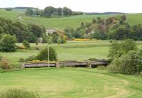
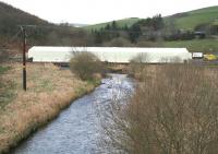
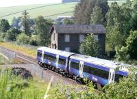
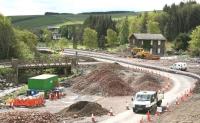
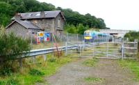
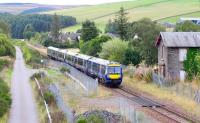
This was a two platform station with a bay platform for the Lauder Light Railway. The main station building was on the northbound platform with a water tank at the south end of the same platform.
...
See also
Lauder Light Railway
John Furnevel 25/07/2019
John Furnevel 20/05/2015
John Furnevel 18/09/2022
John Furnevel 18/09/2022
Ewan Crawford 15/03/1997
James Young 26/09/2009
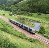
John Furnevel 30/07/2017
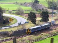
John Furnevel 25/04/2019
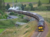
Bill Roberton 06/08/2017
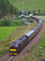
Bill Roberton 06/08/2017
John Furnevel 25/04/2019
John Furnevel 25/04/2019
John Furnevel 30/04/2017
John Furnevel 30/04/2017
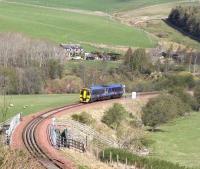
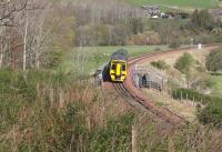
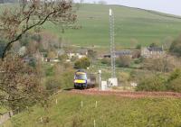
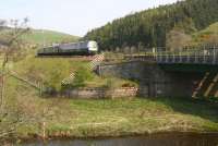
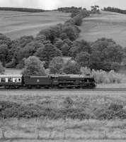
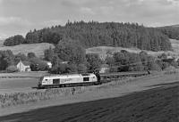
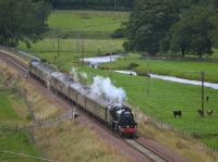
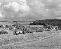
This location is north of Stow station. It is the northern end of a double track section which has its southern end at Bowland Junction. From Galabank the line continues as a single track north to Tynehead Junction, a single line on the originally double track line. Galabank Bridge is to the north.
...
Bill Jamieson 21/08/2017
Bill Jamieson 10/09/2015
Bill Roberton 06/08/2017
Bill Jamieson 17/09/2015
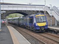
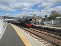
This is a two platform station re-opened on the site of the original. The station building remains standing here, waiting for a new use.
...
See also
Borders Railway (Network Rail)
...
Bill Roberton 20/09/2023
David Bosher 15/05/2016
David Bosher 15/05/2016
John Steven 04/05/2009
John Furnevel 08/06/2008
At Bow/Bow Bridge north of Bowshank Siding. On west side of line making a trailing connection to the northbound line. Probably for farm use although quarry just to east of line.
...
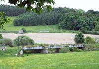
This double track girder bridge crosses the Gala Water just north of Bowshank Tunnel.
...
Bill Jamieson 06/08/2017
...
Bill Jamieson 09/10/2016
Bill Roberton 27/01/2015
Ewan Crawford 30/08/2013
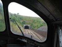
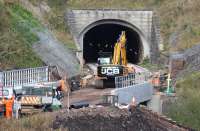
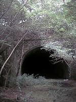
This is a double track tunnel carrying a double track line. To the immediate north is Bowshank North Bridge and to the south Bowshank South Bridge. The tunnel opened with the railway in 1848. It fell out of use when the Waverley Route closed in 1969. While out of use it was used for storage of farming equipment by local farmers. The railway re-opened in 2015. ...
More details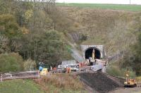
John Furnevel 24/10/2014
David Spaven 05/08/2018
John Furnevel 24/10/2014
Ewan Crawford 25/08/2002
Ewan Crawford 03/03/2014
Dougie Squance (Courtesy Bruce McCartney) 03/09/1966
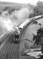
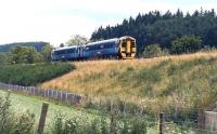
Bowland was a two platform station. This was briefly the southern terminus of the line before it was extended south.
...
John Furnevel 04/08/2015
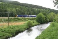
John Furnevel 16/06/2017
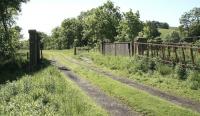
John Furnevel 18/06/2012
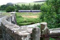
John Furnevel 16/06/2017
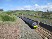
This is not a true junction. It is the southern end of the double track line which commences at Galabank Junction to the north, at Stow. South from Bowland Junction as far as the terminus at Tweedbank the line is single track.
...
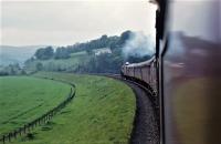
Robin McGregor 05/06/1965
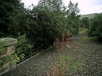
Ewan Crawford 25/08/2002
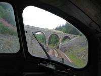
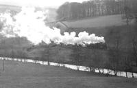
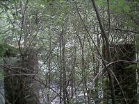
This single track two span viaduct over the Gala Water is north of Torwoodlee Tunnel. It was rebuilt in 2015 using the rebuilt piers of the original double track viaduct here, closed in 1969. Between 1969 and 2015 the bridge girders were removed.
...
David Spaven 05/08/2018
Dougie Squance (Courtesy Bruce McCartney) //
Ewan Crawford 25/08/2002
Dougie Squance (Courtesy Bruce McCartney) //
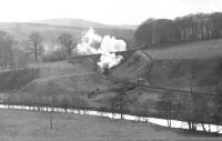
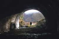
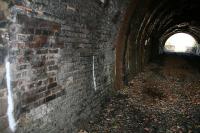
This single bore double track tunnel currently carries a single track. The line was closed between 1969 and 2015 when the single line was restored. At either end of the tunnel are bridges, Torwoodlee North Viaduct and Torwoodlee South Viaduct. The tunnel is on the east bank of the Gala Water close to the A9 as it leaves Galashiels to run north. A loop of the previous incarnation of the ...
More details
David Bosher 30/12/2015
David Spaven 05/12/2012
James Young 26/03/2007
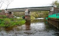
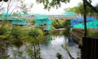
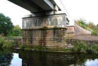
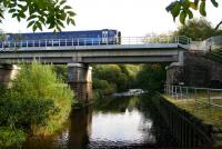
This is a two span single track viaduct, a substantial 2015 reconstruction of the original double track viaduct over the River Gala.
...
John Furnevel 09/06/2014
John Furnevel 18/09/2013
John Furnevel 09/10/2015
John Furnevel 09/10/2015
This was the junction between the Edinburgh and Hawick Railway (North British Railway) and the Peebles loop (Galashiels, Innerleithen and Peebles Railway (North British Railway)).
...
See also
Galashiels, Innerleithen and Peebles Railway (North British Railway)
John Furnevel 10/11/2016
John Furnevel 10/11/2016
John Furnevel 09/10/2017
John Furnevel 09/11/2017
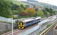
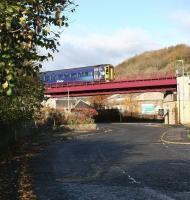
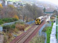
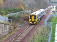
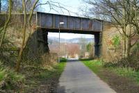
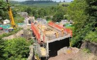
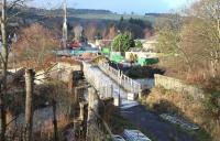
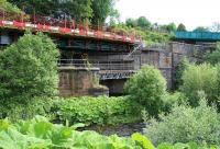
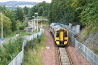
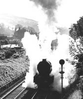
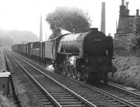
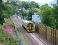
This single track three girder viaduct crosses the River Gala in the west of Galashiels. It is a reconstruction of 2015 of the original double track viaduct. Single track girders rest on the double track piers of the original bridge. At the western end the bridge crosses a mill lade and former footpath.
...
John Furnevel 11/04/2010
John Furnevel 09/06/2014
John Furnevel 26/12/2013
John Furnevel 09/06/2014
John Furnevel 11/09/2014
Dougie Squance (Courtesy Bruce McCartney) //
Dougie Squance (Courtesy Bruce McCartney) //
John Furnevel 11/08/2015
This short siding and loading bank were directly west of Ladhope Tunnel. The siding made a trailing connection with the northbound line and had a short headshunt, also alongside the loading bank. The siding was provided for Paterson's Wood Yard.
...
John Furnevel 09/04/2022
John Furnevel 28/09/2011
John Furnevel 16/06/2017
John Furnevel 11/09/2018
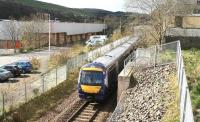
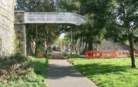
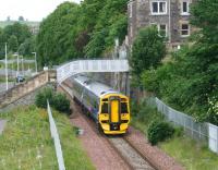
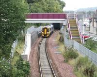
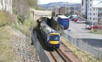
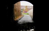
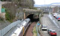
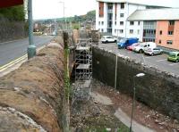
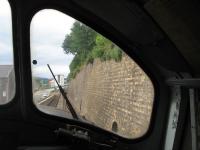
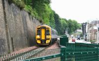
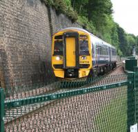
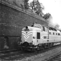
This short tunnel is west of Galashiels station. It currently carries one track under High Buckholmside (the A7). Prior to the closure of the Waverley Route it carried two lines.
...
John Furnevel 08/04/2022
John Furnevel 06/01/2013
John Furnevel 22/03/2018
John Furnevel 03/05/2014
This short siding and loading bank were directly east of Ladhope Tunnel. The siding made a trailing connection with the northbound line. The siding was provided for Paterson's Wood Yard.
...
David Spaven 05/08/2018
John Furnevel 16/06/2017
John Furnevel 16/06/2017
The late Mike Henry, courtesy Alistair Barrie 08/06/1959
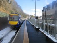
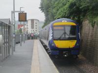
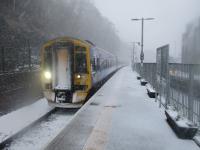
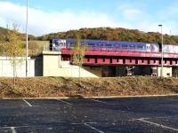
The new Galashiels station has a single platform on a single track line.
...
See also
Borders Railway (Network Rail)
David Bosher 27/02/2018
David Bosher 17/06/2022
David Bosher 27/02/2018
This signal box was located at the north end of Galashiels [1st] station and was closed during the re-signalling of 1937 when it was replaced by a new box at the north end of the station.
...
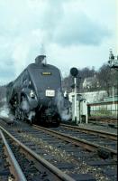
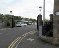
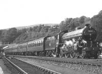
This was a three platform through station, originally covered with a large timber overall roof which was later replaced with platform canopies. Carriage sidings were on the east side. The main station building was on the west side and has, unfortunately, been lost. Opposite the station building was a large watertank for replenishing the locomotives.
...
Colin Kirkwood 18/04/1965
John Furnevel 10/11/2016
David Panton 09/10/2019
Dougie Squance (Courtesy Bruce McCartney) //
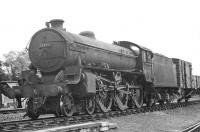
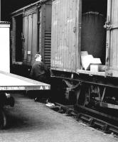
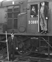
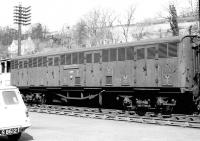
The goods yard was south of Galashiels [1st] station and on the west side of the line. Approach was from the south east.
...
Dougie Squance (Courtesy Bruce McCartney) /07/1963
Dougie Squance (Courtesy Bruce McCartney) //
Dougie Squance (Courtesy Bruce McCartney) //
Dougie Squance (Courtesy Bruce McCartney) //
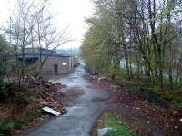
This shed was established in 1903, supplementing a turntable which was located at the north end of Galashiels [1st] station, west side.
...
Ewan Crawford //
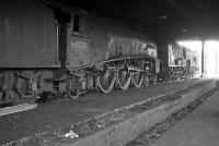
Robin Barbour Collection (Courtesy Bruce McCartney) 12/01/1964
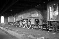
Robin Barbour Collection (Courtesy Bruce McCartney) 12/01/1964
This signal box was south east of Galashiels [1st] station and controlled the approach to the station from the south as well as the access to Galashiels Goods. The box was on the south side of the line.
...
This junction faced Galashiels. Here the single track Selkirk branch, after crossing a viaduct, met the Waverley Route. The branch doubled just before the junction.
...
See also
Selkirk and Galashiels Railway
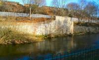
John Furnevel 08/02/2015
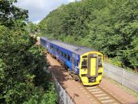
David Panton 12/09/2018
John Furnevel 08/02/2015
John Furnevel 11/09/2018
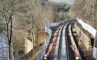
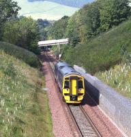
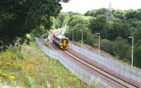
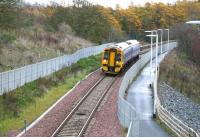
This was built as a double track five arch viaduct. At present it carries one track and a footpath, the Southern Upland Way . The railway track is on the north side, path on the south.
...
John Furnevel 16/06/2016
John Furnevel 10/11/2016
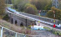
John Furnevel 24/10/2014
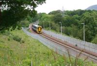
John Furnevel 16/06/2017
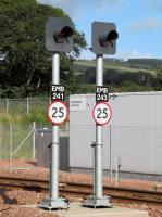
This is the set of points at the west end of Tweedbank station where the track divides to serve the island platform.
...
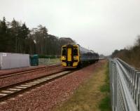
David Panton 28/03/2017
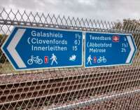
David Panton 12/10/2016
David Panton 12/09/2018
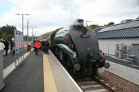
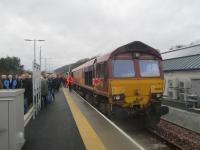
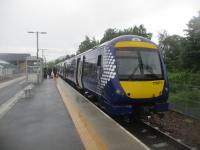
This is a terminus with two platforms on either side of an island and a large carpark. It is just north of A6091. The station is in the eastern extremity of Galashiels, being separated from the town by the River Tweed, and is just over a mile west of Melrose.
...
See also
Borders Railway (Network Rail)
Roger Geach 18/10/2015

Bill Roberton 21/06/2021
David Bosher 30/12/2015
David Bosher 17/06/2022
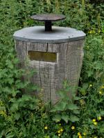
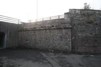
These sidings were approached by reversal from the southbound line.
...
Bill Roberton 21/06/2021
...
Ewan Crawford 06/03/2016
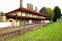
This was a two platform station. It had a large wooden roof over both platforms. The southbound (up) platform and building still stand. The trackbed is now occupied by the A6091.
...
David Bosher 15/05/2016
John Furnevel 10/11/2016
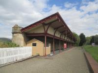
David Bosher 15/05/2016
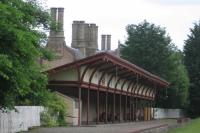
David Spaven 21/06/2021
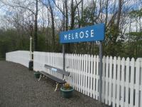
This was a short lived station to the east of Melrose.
...
This was the junction between the Edinburgh and Hawick Railway (North British Railway) of 1849 and the Berwickshire Railway of 1865.
...
See also
Berwickshire Railway
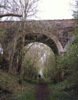
David Spaven 08/05/2013
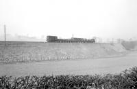
Bruce McCartney //1965
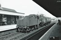
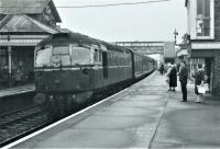
This station was located in Newtown St Boswells, thus its original name, but was renamed for the larger nearby town. In addition to serving the town it was a junction station, described by its large station boards featuring 'St Boswells Change for Jedburgh, Kelso and Berwick' (southbound platform) and 'St Boswells Change for Kelso, Berwick also Jedburgh' (northbound ...
More details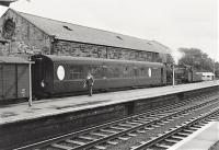
Brian Haslehust 24/08/1963

Brian Haslehust 04/01/1969
Brian Haslehust 19/08/1963
Brian Haslehust 03/09/1962
A small single line shed existed to the north of St Boswells station, this was replaced, probably in anticipation of the opening of the Berwickshire Railway, with a larger two road shed at the south end in 1863. This shed lasted until 1959.
...
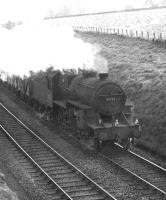
This junction was south of St Boswells station, where there was a bay platform for branch trains, and was formed between the Edinburgh and Hawick Railway (North British Railway)] (1849) and the Kelso Branch (North British Railway) (1850).
...
See also
Kelso Branch (North British Railway)
Dougie Squance (Courtesy Bruce McCartney) /09/1962
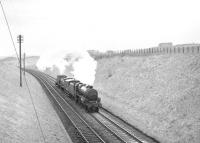
Bruce McCartney 11/04/1967
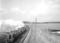
Bruce McCartney 11/04/1967
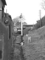
Dougie Squance (Courtesy Bruce McCartney) //1966
This was a two timber platform halt built in connection with the nearby Charlesfield Munitions Factory. Platforms were to the south of the tall bridge over the roadway. Oddly the southbound platform was longer than the northbound.
...
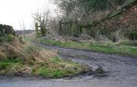
John Furnevel 14/02/2017
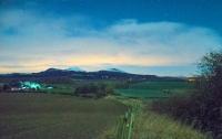
Ewan Crawford 27/12/2017
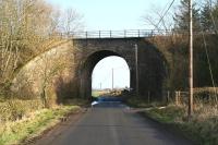
John Furnevel 14/02/2017
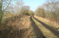
John Furnevel 14/02/2017
This siding was south of Greenend Farm. The siding was on the east side of the line and reached by reversing. There was a signal box.
...
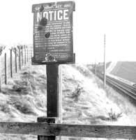
Dougie Squance (Courtesy Bruce McCartney) //
This out of use double track masonry viaduct is north of the former Belses station.
...
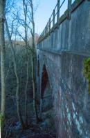
Ewan Crawford 27/12/2017
This was a two platform station.
...
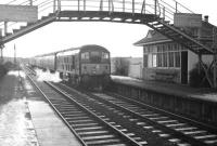
Robin Barbour Collection (Courtesy Bruce McCartney) //
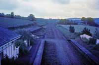
Jim Scott //1974
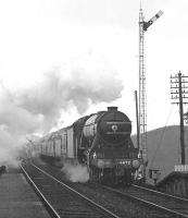
Dougie Squance (Courtesy Bruce McCartney) 16/04/1966
Standhill Siding was a pair of sidings just south of Standhill Farm. The sidings were approached by reversal from the southbound line and were on the east side of the line.
...
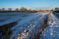
Ewan Crawford 27/12/2017
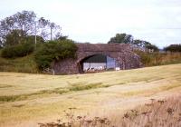
David Spaven 09/08/2013
This station probably opened in 1850, the year after the line opened.
...
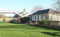
John Furnevel 06/02/2008
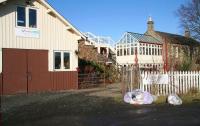
John Furnevel 08/02/2008
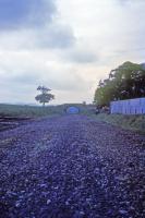
Jim Scott //1974
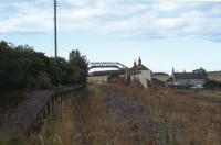
Doug Nicholls /08/1974
This signal box controlled the northern approach to Hawick [2nd] station and yard, much of which was built on the site of Hawick [1st].
...

Duncan Ross 18/03/2023
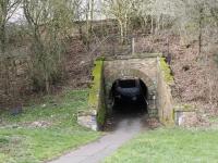
Duncan Ross 18/03/2023
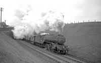
Robin Barbour Collection (Courtesy Bruce McCartney) //1964
Robin Barbour Collection (Courtesy Bruce McCartney) /09/1964
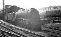
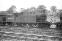
Hawick Shed opened with the line from Edinburgh. It remained on the same site until closure. It was to the immediate north of Hawick [1st] station, the original terminus, which was to become the site of the goods shed when the line was extended south through Hawick [2nd] in 1862. Further goods facilities opened to the north of the shed, resulting it its being in the middle of a goods ...
More details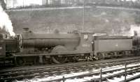
K A Gray //1958
K A Gray 02/06/1963
Robin Barbour Collection (Courtesy Bruce McCartney) 10/08/1958
Robin Barbour Collection (Courtesy Bruce McCartney) //1958
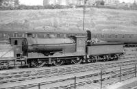
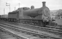
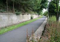
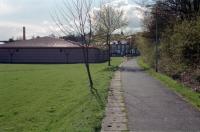
When built, this terminus was opened next to the north bridge over the River Teviot, a little way from the town centre.
...
Robin Barbour Collection (Courtesy Bruce McCartney) 24/08/1958
John Furnevel 10/07/2009
Ewan Crawford //1998
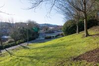
Ewan Crawford 27/12/2017
Edmonstone Colliery
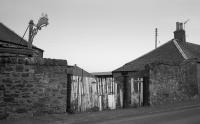
Bill Roberton //1987
This location is out of use. The junction was immediately south of Millerhill station (1849). It was the junction between the Edinburgh and Hawick Railway (North British Railway) of 1847 and the Edinburgh, Loanhead and Roslin Railway of 1874. (The 1831 Edinburgh and Dalkeith Railway alignment was off to the west.)
...
See also
Edinburgh, Loanhead and Roslin Railway
Millerhill Marshalling Yard (British Railways)

John Clark /04/1969

...
Bill Roberton //1990

David Panton 25/05/1995
Fushiebridge Exchange Sidings
The first station site at Fushiebridge was slightly cramped and located to the south of the road bridge. This was later the site of the goods yard only.
...

John Furnevel 19/05/2022

John Furnevel 19/05/2022

John Furnevel 08/12/2018

John Furnevel 10/05/2013
This granary was rail served. Also known as Gorebridge Granary or Fushiebridge Granary. It has been converted into housing.
...
These exchange sidings for the Esperston Lime Works Railway were south east of Fushiebridge [1st] station and on the south side of the Waverley Route. There was a loop and siding (approached from the north west). To the south east was a headshunt for the quarry line from which it struck off to the south west.
...
See also
Esperston Lime Works Railway
Books


