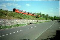
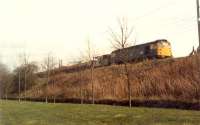
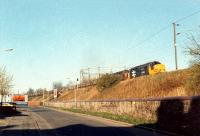
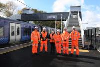
Glasgow, Paisley, Kilmarnock and Ayr Railway
Introduction
This line is open, except between Dalry and Kilmarnock, and a short section in Troon.
The line was extended from Kilmarnock to Old Cumnock to meet a line approaching from Carlisle. The line formed the core of what was later to become the Glasgow and South Western Railway.
Also known as the Glasgow and Ayrshire Railway.
Leased the Paisley, Hurlet and Barrhead Railway.
Dates
Portions of line and locations
This line is divided into a number of portions.
Paisley to Dalry Junction
This is the principal station in Paisley (Paisley Canal is a terminus.) It is on both the line between Glasgow Central and Greenock Central, Gourock, Wemyss Bay and the line to Ardrossan, Largs, Ayr, Girvan and Stranraer.
...
See also
Glasgow and Paisley Joint Railway
Glasgow, Paisley and Greenock Railway
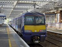
...
Bill Roberton 14/10/2023
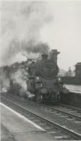
Colin Kirkwood 08/04/1966
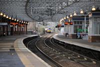
Roger Geach 17/02/2016
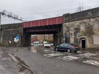
...
Network Rail /12/2021
This junction was at the west end of Paisley station (renamed Paisley Gilmour Street in 1883). It is sometimes also referred to as 'Stoneybrae Junction'. This was an end on junction between the Glasgow and Paisley Joint Railway and the junction between the Glasgow, Paisley and Greenock Railway and Glasgow, Paisley, Kilmarnock and Ayr Railway.
...
See also
Glasgow, Paisley and Greenock Railway
This twin frame box, opened 1888, was west of Paisley Gilmour Street. It controlled the two separate routes west from the station: to Greenock and Ayr. In addition there was a connection between the lines via a short headshunt exchange siding.
...
See also
Glasgow, Paisley and Greenock Railway
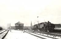
G H Robin collection by courtesy of the Mitchell Library, Glasgow 21/03/1955
This was a set of sidings west of Paisley Gilmour Street, and the former Stoneybrae Twin Signal Box, on the Glasgow and South Western Railway's line to Ayr. Stoneybrae Signal Box was to the west. The depot was also known as the Ayrshire Coal Depot or Paisley Minerals.
...
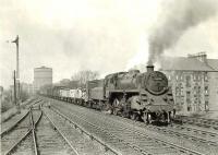
G H Robin collection by courtesy of the Mitchell Library, Glasgow 02/05/1959
This signal box was west of Paisley Gilmour Street on the Ayr line. The box was on the north side of the line controlling loops to the east, on the north side of the line, and sidings (a coal depot Paisley Mineral Depot [GSW]) to the south, approached from west.
...
This was the signa box for Paisley Gas Works and Paisley Western Coal Depot [2nd] . The box was on the north side of the junction. The sidings were on the north side of the line and approached from the east.
...
These gas works were located at Underwood to the west of Paisley's town centre. It belonged to Paisley Corporation.
...
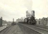
G H Robin collection by courtesy of the Mitchell Library, Glasgow 02/05/1959
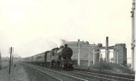
G H Robin collection by courtesy of the Mitchell Library, Glasgow 02/05/1959
This was the junction for the Linwood Branch Railway (Glasgow and South Western Railway). The branch was approached from the east. There was a signal box on the north side of the junction and looped exchange sidings laid on the north side of the main line in the 'V' of the junction. A mile of the branch belonged to the G&SWR.
...
This double track masonry and brick viaduct is east of the former Canal Junction [Elderslie] on the line to Paisley Gilmour Street.
...
Network Rail 17/08/2022
Network Rail 18/07/2022
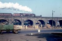
Colin Kirkwood 22/02/1963
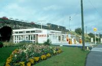
...
Colin Kirkwood 29/09/1963
This junction was located at the east end of Elderslie station. Here the double track Paisley Canal line of 1885 met the already existing Glasgow, Paisley, Kilmarnock and Ayr Railway of 1840. Elderslie station had opened in 1876.
...
See also
Paisley Canal Line (Glasgow and South Western Railway)
Colin Kirkwood 15/06/1967
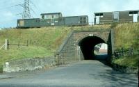
Colin Kirkwood 30/09/1963
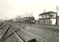
G H Robin collection by courtesy of the Mitchell Library, Glasgow 05/05/1959
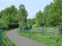
Graham Morgan 04/05/2007
This station opened after the Bridge of Weir [1st] branch and before the Paisley Canal line, initially with 2 platforms and later expanded to four around the time of the Kilbarchan Loop (Glasgow and South Western Railway) opening - thus providing a quadruple route from Dalry to Glasgow St Enoch.
...
Colin Kirkwood 25/09/1964
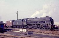
Colin Kirkwood 22/02/1964
...
Colin Kirkwood 01/10/1967
Colin Kirkwood 03/10/1963
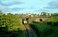
Colin Kirkwood 06/07/1965
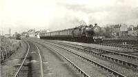
G H Robin collection by courtesy of the Mitchell Library, Glasgow 05/05/1959
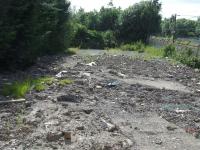
Graham Morgan 16/07/2008
This junction was formed in 1864 between the 1840 Glasgow, Paisley, Kilmarnock and Ayr Railway and the Bridge of Weir Railway.
...
See also
Bridge of Weir Railway
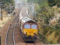
Graham Morgan 16/09/2009
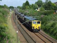
Graham Morgan 16/07/2008
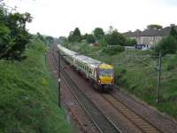
Graham Morgan 20/05/2008
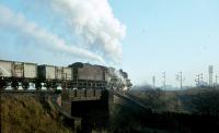
Colin Kirkwood 02/01/1965
This was a double track junction east of Johnstone station which was opened with the Greenock and Ayrshire Railway allowing a train from Ayrshire to take the line to Greenock Princes Pier. The north end of the curve was at Cart Junction.
...
See also
Greenock and Ayrshire Railway
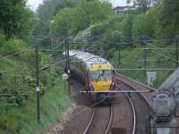
Graham Morgan 20/05/2008
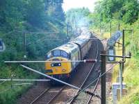
Graham Morgan 24/08/2008
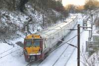
Graham Morgan 02/12/2010
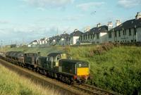
Colin Kirkwood 27/08/1963
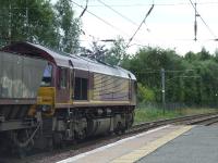
This is a two platform station. The main station building is on the Glasgow bound platform. It formerly had large platform canopies.
...
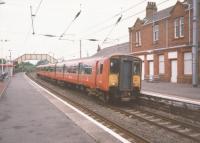
David Panton 24/08/1997
Graham Morgan 30/08/2007
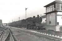
This was the original Milliken Park station, originally named for the mill to its west on the bank of the Black Cart Water. The station was a little closer to Paisley than the present station. Milliken Park itself was to the west on the opposite bank of the watercourse.
...
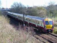
This is a two platform station. The station has no car park and serves the Milliken Park area.
...
Graham Morgan 31/03/2008
G H Robin collection by courtesy of the Mitchell Library, Glasgow 08/09/1959
David Panton 20/08/2008
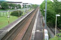
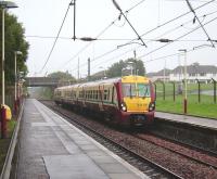
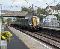
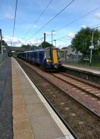
This is a modern minimal two platform station north of Howwood itself. The station re-opened in 2001. There is a small car park between the line and the A737.
...
David Panton 18/09/2019
Ken Strachan 15/07/2015
This intermediate signal box was between Howwood, to the north, and Lochwinnoch stations. The box was on the west side of the railway with Semple Loch behind.
...
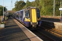
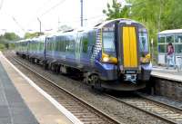
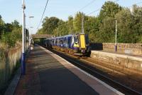
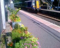
This is a two platform station 3/4 of a mile south east of the town of Lochwinnoch. It is a modern minimal station with a car park. Barr Loch is to the west and Castle Semple to the north. 'Loch Winnoch' may have referred to the area before drainage created the two lochs.
...
John McIntyre 31/08/2018
Colin Miller 14/05/2014
John McIntyre 31/08/2018
John Yellowlees 14/07/2015
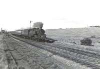
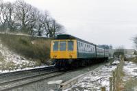
This was a two platform station with the main building on the up platform. There was a goods yard at the north end, west side and approached from the north. The signal box was on the west side, located a little to the north of the passenger station where the goods yard line left the main line. The station was over a mile north west of the town, by road.
...
G H Robin collection by courtesy of the Mitchell Library, Glasgow 14/07/1959
Colin Miller //1986
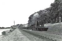
G H Robin collection by courtesy of the Mitchell Library, Glasgow 14/07/1959
This junction was taken out in 1937. (The iron works had closed in the 1920s, but the steel works remained open.)
...
See also
Glengarnock Iron Works
This junction provided the final connection for Glengarnock Steel Works before closure. It also provided access to the second goods yard built for Glengarnock station.
...
See also
Glengarnock Iron Works
This is a two platform station with an original building on the northbound platform.
...
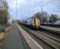
David Panton 22/10/2016
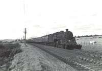
G H Robin collection by courtesy of the Mitchell Library, Glasgow 14/07/1959
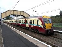
David Panton 02/09/2009
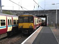
David Panton 02/09/2009
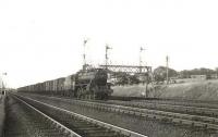
This junction with a flyover opened in 1905, the south western end of the Kilbarchan Loop (Glasgow and South Western Railway), an important junction on the Glasgow and South Western Railway's quadrupling from Glasgow St Enoch to Dalry Junction.
...
See also
Kilbarchan Loop (Glasgow and South Western Railway)
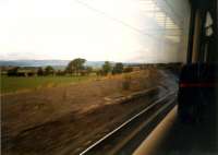
Ewan Crawford //1987
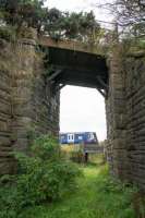
Ewan Crawford 28/09/2017
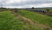
Ewan Crawford 28/09/2017
G H Robin collection by courtesy of the Mitchell Library, Glasgow 27/07/1955
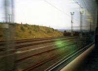
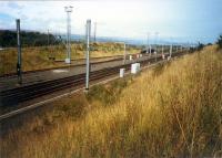
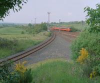
There are loops on either side of the railway running north from near Dalry station (Swinlees Junction) to the former Brownhill Junction. The loops are electrified and may be used by passenger trains.
...
Originally Kersland Junction (the mileage of the Swinlees Branch was measured from Kersland Junction). It then became Carsehead and Swinlees Branch Junction (as shown on the Railway Clearing House map).
...
See also
Swinlees Branch (Glasgow, Paisley, Kilmarnock and Ayr Railway)
Ewan Crawford //1987
Ewan Crawford //1987
Ewan Crawford //1999
This chemical works was opened by Roche to the north of Dalry around 1958. The site has been owned by DSM since 2003. The site produces, amongst other things, vitamin C.
...
This is a two platform station with a car park on the west side.There are steps up to the road bridge to the north to reach the southbound platform. The station is to the east of Dalry itself.
...
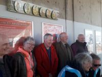
John Yellowlees 14/04/2023
This junction was south of Dalry station it was the divide between the Glasgow routes to Ayr (1840) and Kilmarnock (1843). Also known, in the early days after the Kilmarnock route was extended to become a route to Carlisle in 1850, as Annandale Junction.
...
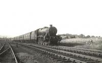
G H Robin collection by courtesy of the Mitchell Library, Glasgow 27/07/1955
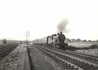
G H Robin collection by courtesy of the Mitchell Library, Glasgow 27/07/1955
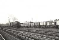
G H Robin collection by courtesy of the Mitchell Library, Glasgow 27/07/1955
Ewan Crawford //1997
Dalry Junction to Ayr
This junction was south of Dalry station it was the divide between the Glasgow routes to Ayr (1840) and Kilmarnock (1843). Also known, in the early days after the Kilmarnock route was extended to become a route to Carlisle in 1850, as Annandale Junction.
...

G H Robin collection by courtesy of the Mitchell Library, Glasgow 27/07/1955

G H Robin collection by courtesy of the Mitchell Library, Glasgow 27/07/1955

G H Robin collection by courtesy of the Mitchell Library, Glasgow 27/07/1955

Ewan Crawford //1997
This turntable was on the east side of Dalry Junction, just at the north end of Dalry Junction [Station] and approached from the south, off the Kilmarnock route.
...
This short lived exchange platform station 1850-1859 was south of Dalry station and immediately south of the Dalry Junction itself. To the north of the junction the line continued as a double track to Dalry. The station was built in the 'V' of the junction with the routes to Ayr and Kilmarnock continuing as double track railways.
...
This was an intermediate signal box between Dalry Junction and Dalgarven Signal Box. The box was on the west side of the line just north of the bridge over the Dusk Water and with Monkcastle itself to the west over the River Garnock.
...
This signal box was located just north of the viaduct over the River Garnock, not far north of Kilwinning and south of Dalry Junction. It was on the east side of the line.
...
Ewan Crawford 14/09/2017
Colin Miller /06/1969
Colin Miller //1969
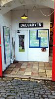
John Yellowlees 22/01/2016
This junction is north of Kilwinning station. It s the junction between the line from Glasgow to Ayr and the branch to Ardrossan. Also known as Ardrossan Branch Junction.
...
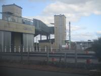
This is a four platform station with two platforms on the Ardrossan Harbour / Largs branch and two platforms on the line south to Ayr. There was an extensive goods yard on the west side, approached from the north, but this is reduced to a pair of civil engineer sidings.
...
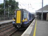
David Bosher 25/07/2017
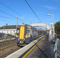
David Panton 17/10/2018
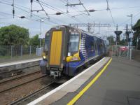
David Bosher 25/07/2017
David Bosher 15/09/2022
This signal box controlled the approach to the Eglinton Iron Works from the north (Kilwinning station) direction.
...
See also
Eglinton Iron Company Railway
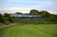
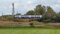
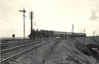
This is the junction between the line to Ardrossan Harbour and the Glasgow to Ayr line which allows a train from the Ayr direction to run to Ardrossan. It is largely used for goods and empty stock movements. The main line is double track and the Ardrossan approach single.
...
See also
Ardrossan Railway
Douglas Blades 07/07/2022
Ewan Crawford 14/09/2017
G H Robin collection by courtesy of the Mitchell Library, Glasgow 04/04/1959
This is a double track three arch viaduct. The viaduct has also been known as the Eglintown (sic) Viaduct and the Eglinton Viaduct. ...
More details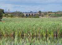
Ewan Crawford 17/08/2017
Still in use in 1984 with a daily return trip to Falkland Yard. BR vans. Worked by Class 20.
...
This was the junction for the Bartonholm Coal Pit No 1 branch. This was later adapted to become the Snodgrass Branch which served the portion of ICI east of the River Garnock. ...
More details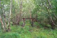
Ewan Crawford 17/08/2017

Ewan Crawford 17/08/2017
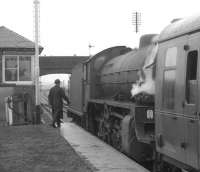
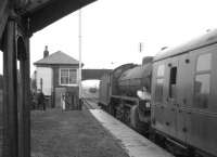
This was a two platform station to the west of Bogside Race Course. Bogside Golf Club House (now Irvine Golf club) was built on the west side.
...
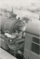
Colin Kirkwood 10/04/1966
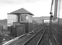
Bill Roberton 31/08/1985
K A Gray 10/04/1966
K A Gray 10/04/1966
This was a siding south of Bogside station, on the west side of the line, served from the north. It may have been used in connection with Bogside Race Course which was just to the west.
...
This low profile six arch double track viaduct crosses the River Garnock between the former Bogside station (to the north) and Irvine station (to the south).
...
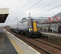
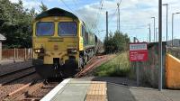
This is a two platform station. The station has a mixture of old and new buildings. The line is raised and station entry is one floor below the track level. There is a surviving original station building. The building on the southbound platform bears a strange resemblance to Highland Railway station buildings such as that at Ardgay. The building on the northbound platform is different in ...
More detailsSee also
Busbie Branch (Glasgow, Paisley, Kilmarnock and Ayr Railway)
David Panton 06/02/2019
Ken Browne 15/08/2016
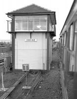
Bill Roberton 31/08/1985
This was a two platform station, opened around 1893. The station is bound up with the establishment of golf courses at Gailes. Before 1892 there was little at Gailes other than Gailes Farm.
...
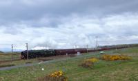
John Robin /04/2012
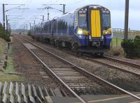
Bill Roberton 09/02/2016
This is a two platform station on the Glasgow-Ayr route.
...
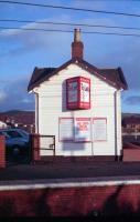
Ewan Crawford 10/02/1989
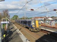
David Panton 05/11/2019
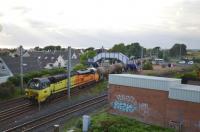
Douglas Blades 16/06/2021
This is a four was junction directly south of Barassie station.
...
See also
Troon Loop (Glasgow and South Western Railway)
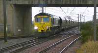
Ken Browne 20/01/2012
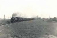
G H Robin collection by courtesy of the Mitchell Library, Glasgow 07/07/1954
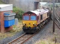
Bill Roberton 29/09/2014
This carriage and wagon works was located south of Barassie Junction on the west side of the original route of the Glasgow, Paisley, Kilmarnock and Ayr Railway, now reduced to sidings approached from the junction. The Troon Loop (Glasgow and South Western Railway) was to the west.
...
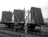
...
PR&PO British Railways (Douglas Blades Collection) //1966
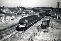
The second station in Troon was opened on the Glasgow, Paisley, Kilmarnock and Ayr Railway. It was a two platform station with a goods yard north of the station on the west side, approached from the north. The main station building was on the northbound platform. (Troon [1st] station was located by the harbour to the west and was the terminus of the Kilmarnock and Troon Railway).
...
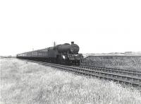
G H Robin collection by courtesy of the Mitchell Library, Glasgow 04/07/1959
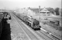
Bill Hamilton /07/1962
Bill Hamilton //1960
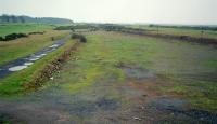
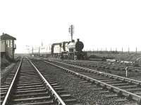
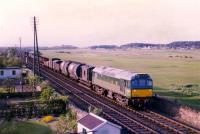
This junction opened in 1892 when a new curve through Troon station, at a location better serving the town, opened between Lochgreen and Barassie Junction. The new alignment also allowed an approach to Troon Harbour Goods from the south.
...
See also
Troon Loop (Glasgow and South Western Railway)
Ewan Crawford //1997
G H Robin collection by courtesy of the Mitchell Library, Glasgow 28/03/1959
Bill Hamilton //1967
Robert Blane 29/10/1982
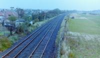
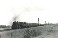
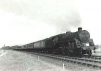
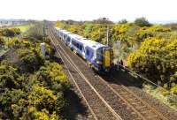
This was a two platform station to the west of Monkton itself. The Station Road between the two has been re-routed with the construction of Prestwick Airport's runway. The main station building was on the east side.
...
G H Robin collection by courtesy of the Mitchell Library, Glasgow 20/07/1959
G H Robin collection by courtesy of the Mitchell Library, Glasgow 20/07/1959
Colin Miller 16/04/2015
G H Robin collection by courtesy of the Mitchell Library, Glasgow 20/07/1959
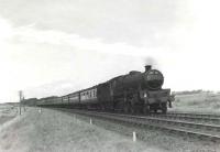
This junction was between Prestwick (to the south) and Monkton (to the north) stations. It is today the site of Prestwick International Airport station.
...
See also
Monkton and Annbank Branch (Glasgow and South Western Railway)
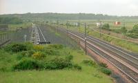
This is the Prestwick Oil Depot for Prestwick Airport. It is built on the site of the goods yard for the former Monkton station. The sidings are to the west of the line and approached from the north.
...
Ewan Crawford //1998
Bill Roberton 19/03/2010
Colin Miller 16/04/2015
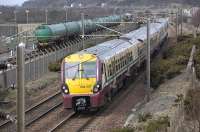
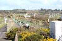
This station was opened for Glasgow Prestwick Airport which is to the immediate east and connected to the station by a long elevated covered walkway. It serves Prestwick Airport (as it is typically known), Glasgow is 37 miles away to the north east by train.
...
See also
Monkton and Annbank Branch (Glasgow and South Western Railway)

David Panton 05/11/2019
David Panton 05/11/2019
...
Bill Roberton 19/03/2010
David Panton 01/10/2016
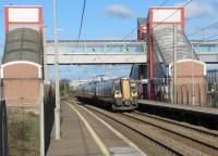
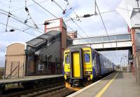
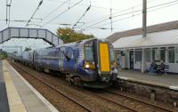
This is a two platform station with a pair of fine station buildings on each platform. The larger, on the southbound platform, has a long glass canopy on the platform site. The smaller, largely timber built, on the northbound platform, also has a canopy platform side.
...
Colin Miller 28/09/2023
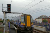
Colin Miller 28/09/2023
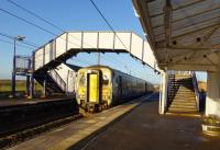
Colin Miller 05/12/2023
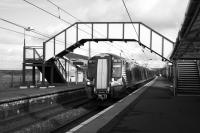
Colin Miller 01/10/2020
This junction is to the north of Newton-on-Ayr station. Today it is where the lines of Falkland Yard fan out on either side of the line, particularly to the west on the approach to Ayr Harbour.
...
See also
Ayr and Dalmellington Railway
Falkland Yard and Ayr Harbour (Glasgow and South Western Railway)
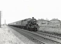
G H Robin collection by courtesy of the Mitchell Library, Glasgow 04/07/1959
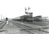
G H Robin collection by courtesy of the Mitchell Library, Glasgow 04/07/1959
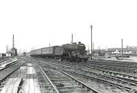
G H Robin collection by courtesy of the Mitchell Library, Glasgow 04/07/1959
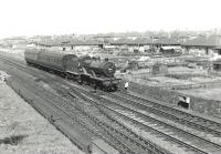
G H Robin collection by courtesy of the Mitchell Library, Glasgow 04/07/1959
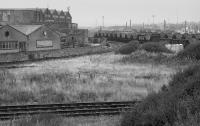
Bill Roberton //1992
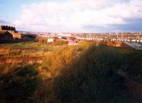
Ewan Crawford //1987

Ewan Crawford 07/09/2017
This three road shed, approached from the north, was north of Ayr [1st] station. A siding was provided on either side of the shed. The building was 200ft long and 42 ft wide. It was located on the west side of the line north of Waggon Road (the Auchincruive Waggonway and road). Locomotives entered over the turntable. A coke shed was to the north.
...
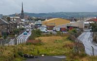
Ewan Crawford 07/09/2017
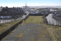
Bill Roberton 19/03/2010
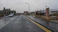
Ewan Crawford 07/09/2017
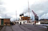
This was a terminus of the Glasgow, Paisley, Kilmarnock and Ayr Railway. The station was on the north bank of the River Ayr and close to the river.
...

Ewan Crawford 07/09/2017
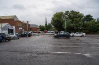
Ewan Crawford 07/09/2017
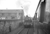
R Sillitto/A Renfrew Collection (Courtesy Bruce McCartney) 20/10/1962
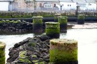
Colin Miller 20/03/2016
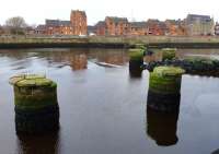
Colin Miller 10/12/2013
A Snapper (Courtesy Bruce McCartney) 09/09/1955
Dalry Junction to Kilmarnock and Cumnock
This short lived exchange platform station 1850-1859 was south of Dalry station and immediately south of the Dalry Junction itself. To the north of the junction the line continued as a double track to Dalry. The station was built in the 'V' of the junction with the routes to Ayr and Kilmarnock continuing as double track railways.
...
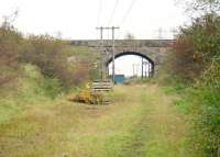
This siding was on the north side of the line, reached by reversal from the Crosshouse direction. It was between Dalry Junction and Montgreenan.
...
Ewan Crawford //1996
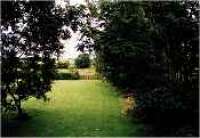
This was a two platform station with the main building on the Kilmarnock bound platform.
...
Ewan Crawford //
Owned by the Glengarnock Iron and Steel Co and close to Cunninghamhead station. ...
More detailsSee also
Glengarnock Iron Company
This station was 4 1/4 miles south west from Stewarton, considerably closer to Cunningham at about 1/2 a mile. It was named for Stewarton, the larger town, until it became inappropriate with the opening of Stewarton station in 1871, after a short delay it was renamed for Cunninghamhead in 1880.
...
This box was between Cunninghamhead, to the north west, and Crosshouse, to the south east. It controlled access to Busbiehead Colliery Pit No 3. This colliery was originally on the north side of the line with its siding making a trailing connection to the Kilmarnock bound line. The box on the north side of the line.
...
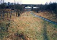
This station was immediately west of Busbie Junction. This was the junction between the 1843 Glasgow, Paisley Kilmarnock and Ayr Railway and its 1848 line to Irvine which provided an outlet for Ayrshire coal at Ardrossan and opened in the same year as the Galston branch, Muirkirk [1st] branch and the main line extended as far as Auchinleck.
...
See also
Busbie Branch (Glasgow, Paisley, Kilmarnock and Ayr Railway)
Ewan Crawford //1988
Ewan Crawford //1988
Ewan Crawford //1988
Ewan Crawford //1987
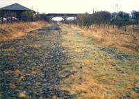
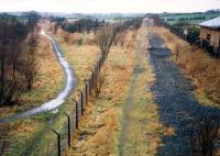
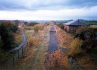
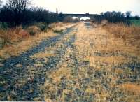
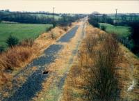
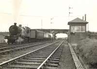
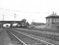
This was a double track junction south east of Crosshouse station. The original Glasgow - Kilmarnock line (1843) was met by the line from Irvine (1848). The location name is spelt variously Busby and Busbie. Ordnance Survey favoured the latter.
...
See also
Busbie Branch (Glasgow, Paisley, Kilmarnock and Ayr Railway)
Ewan Crawford //1988
Ewan Crawford //1988
G H Robin collection by courtesy of the Mitchell Library, Glasgow 06/05/1953
G H Robin collection by courtesy of the Mitchell Library, Glasgow 06/05/1953
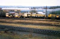
This was the junction for Fardalehill Colliery (older spelling), Greenhill Colliery Pit No 1, Woodhall Colliery Pit No 14 and Woodhall Colliery Pit No 16. The collieries were on the south side of the line, approached from the west. The junction was between Crosshouse and Kilmarnock.
...
This signal box was north west of Kilmarnock on the original main line from Glasgow via Dalry.
...
Ewan Crawford //1988
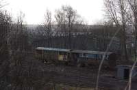
Robert Blane 06/03/2009
Bonnyton signal box was located at Bonnyton Junction in Kilmarnock. It was on the Dalry route just to the north west of Kilmarnock Junction.
...
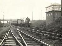
G H Robin collection by courtesy of the Mitchell Library, Glasgow 06/05/1954
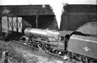
Bill Hamilton //1961
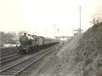
G H Robin collection by courtesy of the Mitchell Library, Glasgow 06/05/1954
In 1843 the Glasgow, Paisley, Kilmarnock and Ayr Railway opened to Kilmarnock [1st]. This location is where the passenger station (Kilmarnock [1st], to the north) and goods lines (Kilmarnock Goods, to the south) parted.
...
See also
Glasgow and Kilmarnock Joint Railway
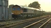
Ken Browne 06/06/2016
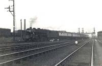
G H Robin collection by courtesy of the Mitchell Library, Glasgow 02/06/1954
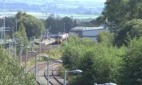
Ken Browne 31/08/2016
This was initially the terminus of the Glasgow, Paisley, Kilmarnock and Ayr Railway between 1843 and 1848, the site being roughly the same as the present Kilmarnock station. A temporary station existed between 1843 and 1846.
...
This station is located in the middle of Kilmarnock. It is a four platform station with two bay platforms at the north end and two mainline platforms. There are three tracks between the main platforms. The bay platforms and northbound (down) platform are canopied.
...
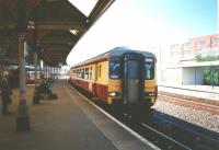
David Panton 01/06/1997
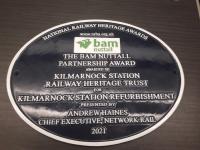
John Yellowlees 26/01/2022

...
John Yellowlees 11/09/2017
This is a double track 23 arch masonry viaduct just east of Kilmarnock station on the route south to Dumfries and Carlisle. The viaduct is 954 ft long.
...
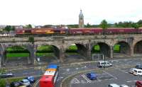
Ken Browne 17/08/2011
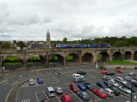
Ken Browne 17/08/2011
This junction is east of Kilmarnock station. A 1904 spur from Kay Park Junction ran south to join the 'Kilmarnock bypass' between Thirdpart Junction and Mayfield Junction meeting that line at Bellfield Junction. A number of works had opened at Bellfield and Riccarton and the connection provided a goods route to these from the north.
...
See also
Thirdpart Junction to Mayfield Junction (Glasgow and South Western Railway)
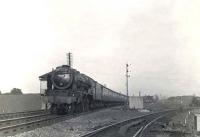
G H Robin collection by courtesy of the Mitchell Library, Glasgow 02/06/1954
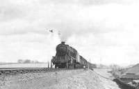
G H Robin collection by courtesy of the Mitchell Library, Glasgow 06/05/1954
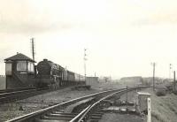
G H Robin collection by courtesy of the Mitchell Library, Glasgow 06/05/1954
This is a seven arch double track masonry viaduct crossing the River Irvine north of the former Hurlford station.
...
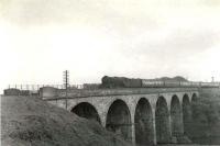
G H Robin collection by courtesy of the Mitchell Library, Glasgow 22/05/1961
This iron works, owned by the Portland Iron Co, was in Hurlford which, in fact, developed around it. Latterly the works was owned by the Eglinton Iron Works of Kilwinning.
...
The original junction for the Galston branch was north of Hurlford station, the branch passing round a third platform, the southbound main line platform being an island. In addition to being the junction for Galston there was also a line east to the Portland Iron Works and west to Bellfield Colliery - both served from the north.
...
See also
Galston Branch (Glasgow and South Western Railway)
This station is closed. Initially this was a three through platform station - two main line platforms (two tracks between) and the up platform was an island, the outside face of which was for the Galston Branch.
...
See also
Galston Branch (Glasgow and South Western Railway)
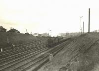
G H Robin collection by courtesy of the Mitchell Library, Glasgow 06/05/1954
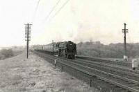
G H Robin collection by courtesy of the Mitchell Library, Glasgow 22/05/1961
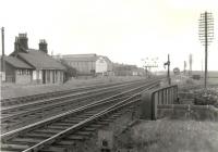
G H Robin collection by courtesy of the Mitchell Library, Glasgow 22/05/1961
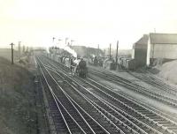
G H Robin collection by courtesy of the Mitchell Library, Glasgow 02/06/1954
Hurlford signal box was to the south of Hurlford station. It was on the west side of the junction between the G&SWR main line from Glasgow to Carlisle and the Galston branch. The box still stands, although unused.
...
See also
Galston Branch (Glasgow and South Western Railway)
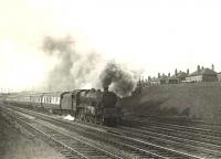
See
G H Robin collection by courtesy of the Mitchell Library, Glasgow 06/05/1954
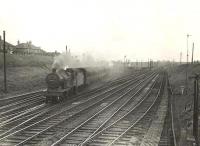
G H Robin collection by courtesy of the Mitchell Library, Glasgow 02/06/1954
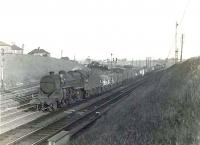
G H Robin collection by courtesy of the Mitchell Library, Glasgow 02/06/1954
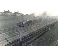
G H Robin collection by courtesy of the Mitchell Library, Glasgow 02/06/1956
This location was south of Hurlford on the main line to Dumfries. It was a junction providing access to Barleith Pit No 2 which was on the west side, served from the north.
...
This signal box opened in the Second World War to control access to the Bowhouse Munitions Depot. This was an Air Ministry Munitions Factory where incendiary bombs were assembled.
...
This goods yard was on the west side of the line, just north of the Garroch Burn bridge. The sidings made a trailing connection to the southbound line. There was a loading bank and two sidings.
...
This was an intermediate signal box south of Kilmarnock. It was located south of Garrochburn Goods, just to the north on the west side of the line, and a mineral line to Mauchline Colliery Pits Nos 1,2,4, to the south and on the east side.
...
Private railway halt associated with repair and maintenance of the Mossgiel Tunnel. ...
More detailsThis is a double track single bore tunnel of 684 yards between the open stations at Kilmarnock (to the north) and Auchinleck. Historically Mossgiel Tunnel Platform was to the north and Mauchline a little further to the south.
...
This was a three platform station about half a mile to the south of Mauchline itself. The main station building was on the main line southbound platform. There was a goods yard at the east end, north of the line, approached by reversal.
...
See also
Ayr and Mauchline Line (Glasgow and South Western Railway)
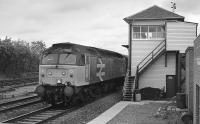
Bill Roberton //1989
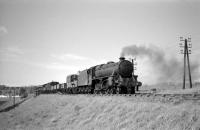
Bill Hamilton 04/06/1961
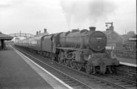
Bill Hamilton 04/06/1961
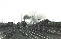
G H Robin collection by courtesy of the Mitchell Library, Glasgow 04/08/1961
This is an impressive double track seven arch viaduct over the River Ayr. It is the central span which sets it apart - at 181 feet long it is the longest masonry arch of a railway viaduct in Britain. The overall length is 630 ft. The height is 164 ft (there is some disagreement about this amongst sources - 169 ft is also possible). It is a National Historic Civil Engineering Landmark.
...
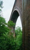
Ewan Crawford //2002
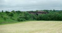
Ewan Crawford //2002
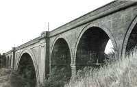
G H Robin collection by courtesy of the Mitchell Library, Glasgow 04/08/1961
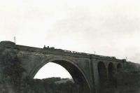
G H Robin collection by courtesy of the Mitchell Library, Glasgow 04/08/1961
This was a siding on the down side, approached from the north. It was provided with a crane. This was probably the Sir James Boswell siding of the Railway Clearing House map. A signal box, 'Boswell Quarry' opened here in 1877 and closed in 1891 when a new signal box at Brackenhill Siding opened.
...
This was the junction for the Catrine branch, a short branch south east of Mauchline.
...
See also
Catrine Branch (Glasgow and South Western Railway)
This was a siding on the down line, approached from the north. Later a signal box was provided here in 1891. On older Railway Clearing House maps the spelling is 'Breckenhill Siding'.
...
This junction opened around 1906 in connection with the sinking of Barony Colliery Pits Nos 1,2,3,4. The signal box was replaced with a permanent box in 1916 on the east side of the line. The branch was approached from the north and there were exchange sidings for the Barony Colliery Railway in the 'V' of the junction.
...
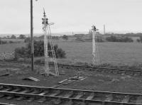
Bill Roberton 31/08/1985
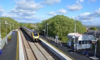
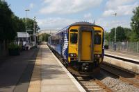
This is a two platform station with a small car park.
...
See also
Highhouse Colliery Branch (William Baird & Co)
Douglas Blades 22/05/2021
John McIntyre 31/08/2018
Bill Roberton //1989
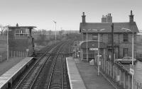
This junction was immediately east of Auchinleck station between the lines to Muirkirk and the main line from Glasgow St Enoch to Carlisle. Muirkirk Junction Shed was located in the 'v' of the junction. The Muirkirk branch singled shortly after the junction, with initially only the westbound line laid.
...
See also
Muirkirk Branch (Glasgow, Paisley, Kilmarnock and Ayr Railway)
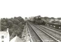
This is a 14 span double track masonry viaduct over the Lugar Water, for which is is also known as the Lugar Water Viaduct or Templand Viaduct. The overall length is 705 ft, height 153 ft.
...
G H Robin collection by courtesy of the Mitchell Library, Glasgow 29/07/1961
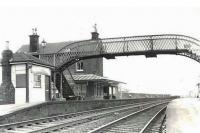
A two platform station with a two storey building on the northbound platform.
...
See also
Glasgow, Dumfries and Carlisle Railway
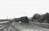
G H Robin collection by courtesy of the Mitchell Library, Glasgow 29/07/1961
G H Robin collection by courtesy of the Mitchell Library, Glasgow 29/07/1961
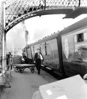
John Furnevel Collection //
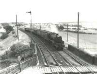
G H Robin collection by courtesy of the Mitchell Library, Glasgow 29/07/1961
Blair Colliery Branch
This short lived exchange platform station 1850-1859 was south of Dalry station and immediately south of the Dalry Junction itself. To the north of the junction the line continued as a double track to Dalry. The station was built in the 'V' of the junction with the routes to Ayr and Kilmarnock continuing as double track railways.
...
This coal and limestone pit was located east of Dalry, reached by a mineral line (Blair and Co's Siding) from Dalry Junction which ran north east to the mine. The bing was to the north. The same line served Blair Mine Blair Colliery No 9 Pit, which was further east.
...
This mine was at the end of a single track mineral line running east from Dalry Junction [Station]. Owned by Blair and Co.
...
Irvine Harbour Branch
This is a two platform station. The station has a mixture of old and new buildings. The line is raised and station entry is one floor below the track level. There is a surviving original station building. The building on the southbound platform bears a strange resemblance to Highland Railway station buildings such as that at Ardgay. The building on the northbound platform is different in ...
More detailsSee also
Busbie Branch (Glasgow, Paisley, Kilmarnock and Ayr Railway)

David Panton 06/02/2019

Ken Browne 15/08/2016

Bill Roberton 31/08/1985
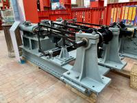
Colin Miller 05/04/2022

Scottish Maritime Museum 08/04/2010
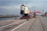
Ewan Crawford //1998
Merksworth Branch
Blair Iron Works
This iron works was located east of Dalry on the east bank of the River Garnock. The furnaces were built into the river embankment. It was owned by Blair and Co.
...


